Search

Track Tree-Scale Changes Across Your Territory
Detailed, comprehensive satellite data for better management of land and vegetation.
Planet helps governments protect and manage forest resources for future generations by delivering powerful data and insights on vegetation health, forest disturbances, and aboveground live carbon.
Proactive Monitoring
Identify high-risk areas with near-daily 3.7 m resolution satellite data. Leverage regular data to monitor vegetation health, increase wildfire preparedness, and make informed management decisions.
Precision Detection
Identify tree-scale forest disturbances with AI-powered alerts and analytic feeds. Near-daily alerts reveal forest degradation with high detail — down to individual trees, roads, and buildings — to optimize resources and respond effectively.
Greater Detail
Take a closer look with 50 cm high-resolution tasking. See specific locations in greater detail with rapid, intraday revisit.
Reliable Carbon Estimates
Estimate aboveground live carbon with global 3m quarterly mosaics. Leverage our satellite-based estimates of canopy height, canopy cover, and aboveground live carbon to simplify data processing and analysis.
Seamless Integration
Bring high-resolution forest data to more users with our flexible, cloud-based platform. Use Planet APIs and tools to integrate public and commercial data sources into existing workflows and expand access across the government.
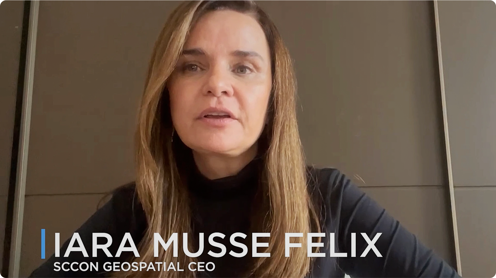
PlanetScope daily spatial and temporal high-resolution images enable the precision delivery of thematic data for different types of change detection alerts we generally deliver for any area in Brazil.
Iara Musse Felix
CEO of SCCON GEOSPATIAL
Featured Customers and Partners

Easy and Efficient Forest Project Monitoring, Reporting, and Verification
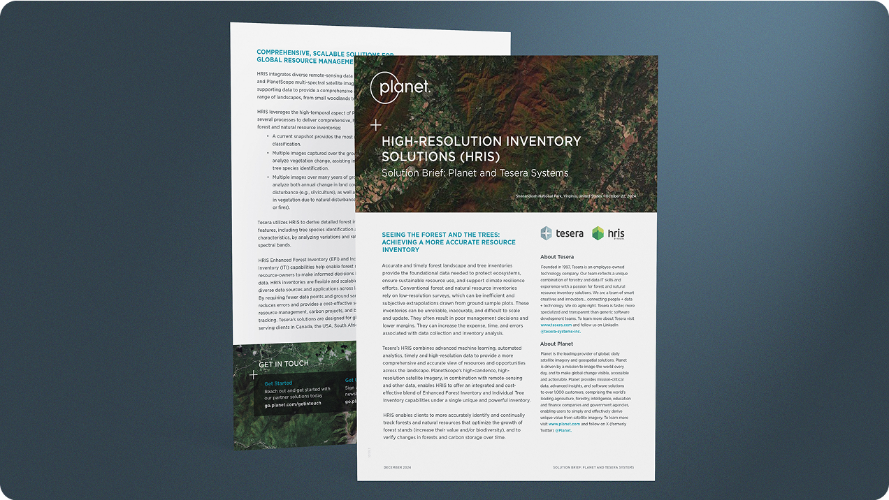

High-Resolution Forest Inventory Solutions
Download Case Study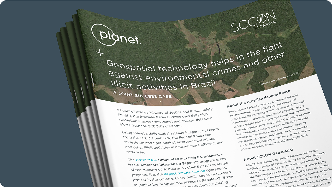

Geospatial Technology Helps the Fight Against Environmental Crimes in Brazil
Download Case StudyExample Use Cases
Forest Health Monitoring
Invasive Species Monitoring
Tree Mortality and Disease Monitoring
Forest Inventory Management
Forest Carbon Monitoring
Vegetation Monitoring
Deforestation and Forest Degradation Monitoring
Fuels Reduction Tracking
Wildfire Risk Monitoring
Identifying Illegal Activity
Fuel Loads Mapping
Burn Scar Mapping
Habitat and Land Type Classification
Utility Line Clearance Monitoring
Monitoring Forest Rehabilitation

Find out more
Download Our E-book: Building Forest Resilience with Planet
Download Forest Resilience E-bookNeed More Help?
Connect with a member of our Sales team. We'll help you find the right products for your needs
© 2026 Planet Labs PBC. All rights reserved.
| Privacy Policy | California Privacy Notice |California Do Not Sell
Your Privacy Choices | Cookie Notice | Terms of Use | Sitemap
