Search

Improve Visibility and Maximize Efficiency With Actionable Insights
Detailed, near-daily data to reduce risk and enhance decision-making.
Planet provides detailed insights to monitor the built environment and make informed, timely decisions. From routine operations like permit compliance and code enforcement to responding to unplanned events, our data and tools can streamline your workflows to save time and money.
Asset Monitoring
Monitor critical infrastructure like utility lines, dams, and ports with near-daily 3.7 m resolution satellite data. Track compliance and optimize inspection capacity for critical assets with regular data.
Change Detection
Quickly spot new roads and buildings with change detection analytic feeds. Leverage computer vision techniques to detect new roads and buildings across any region on a weekly or monthly basis.
Greater Detail
Take a closer look with 50 cm high-resolution tasking. See specific locations in greater detail with rapid, intraday revisit.
Historical Insight
Fill data gaps using our archive of near-daily imagery dating back to 2017. Leverage the vast Planet Archive to understand long-term trends and monitor the impacts of land use planning and infrastructure investments.
Environmental Impact
Understand environmental conditions and plan for the future with Planetary Variables. Planet delivers continual, scientifically rigorous data layers that measure the changing conditions of the surface of the Earth.
Integrated Access
Bring high-resolution data to more users with our flexible, cloud-based platform. Use Planet APIs and tools to integrate public and commercial data sources into existing workflows and expand access to more users across the government.
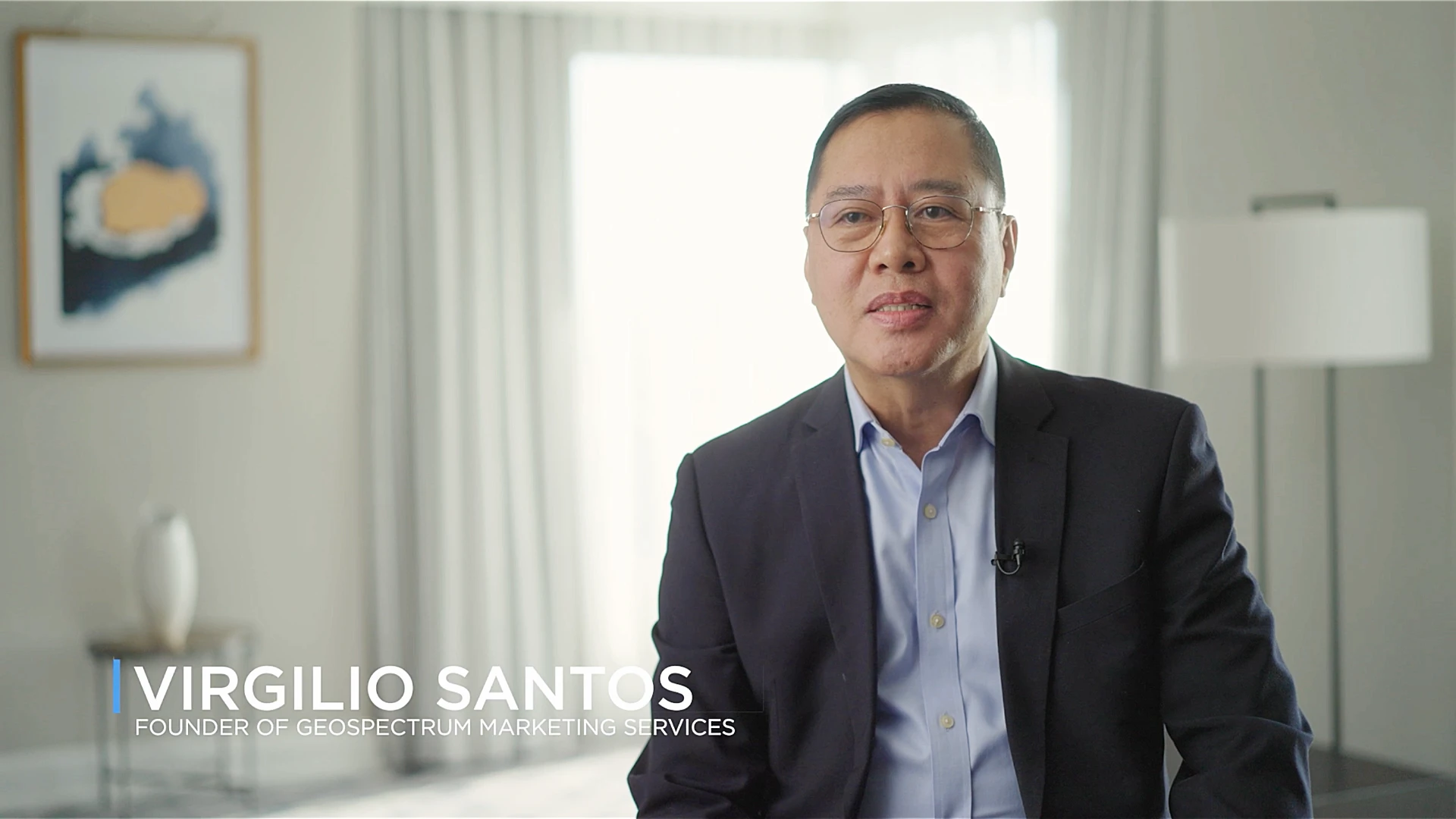
Having Planet data gave us 100% capability in terms of monitoring, which we couldn’t really do in previous datasets.
Virgilio Santos
Founder of Geospectrum Marketing Services
Featured Customers and Partners


Monitoring Critical Infrastructure from Space
Download Case Study

Empowering Geospatial Solutions with High-Frequency Satellite Imagery and Analytics
Download Case Study

Simple, Efficient Property Change Detection for County Assessors
Download Case Study
The higher frequency at which the SkySat captures are able to be tasked is what makes Planet a leading provider for us, as we’re able to save on cost and time compared to traditional airborne captures.

Dyllen Redman
Senior Planning Officer, New South Wales Government
Example Use Cases
Road and Building Change Detection
Property Tax Assessment
Urban Heat Mapping
Rapid Building Damage Assessment
Identifying Unauthorized Trespassing
Flood Risk Monitoring
Construction and Development Monitoring
Environmental Reporting
Flood Extent Mapping
Land Classification
Find out more
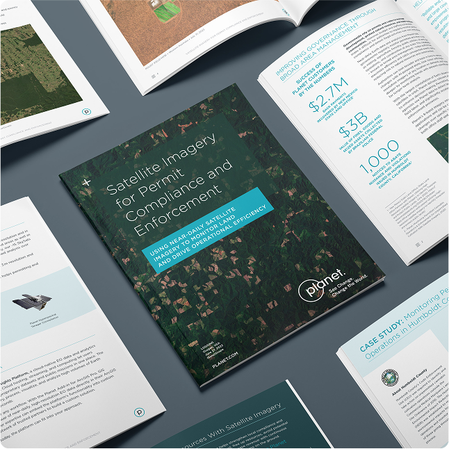
Download Our E-book: Satellite Imagery for Permit Compliance and Enforcement
Download Infrastructure Monitoring E-bookNeed More Help?
Connect with a member of our Sales team. We'll help you find the right products for your needs
© 2026 Planet Labs PBC. All rights reserved.
| Privacy Policy | California Privacy Notice |California Do Not Sell
Your Privacy Choices | Cookie Notice | Terms of Use | Sitemap
