Search

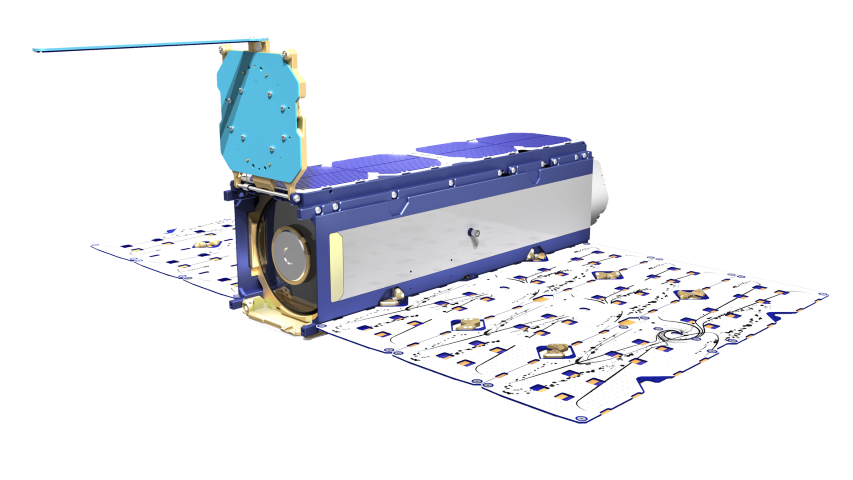
Commercial Satelite Imagery with Planet
Unlock unparalleled insights with Planet’s commercial satellite imagery. Utilize real-time data to drive innovation and make informed decisions.
WHAT IT IS
Commercial Satellite Imagery via Planet Monitoring
By leveraging Planet’s commercial satellite imagery, organizations can now achieve near-real-time insights via visual and spectral image capture capabilities.
These high-resolution images and data inform both planning and decision-making. This enables your organizations to observe geographic areas of interest, identify and examine trends, monitor competitors, assess risks, drive innovation, and ultimately, optimize operations.
What’s more, Planet’s cloud-based platform, APIs, and GIS integrations make this data accessible anywhere, at any time.
Accelerate Decision Making
Daily updates of the Earth’s entire landmass and a nearly 15-year, 50 PB library of high-resolution satellite imagery and proprietary datasets help ensure that any organization can continually access the data necessary for rapid, informed decision-making.

Agriculture
Monitor sustainable agriculture efforts, manage irrigation and pastures, and track effectiveness of variable rate application

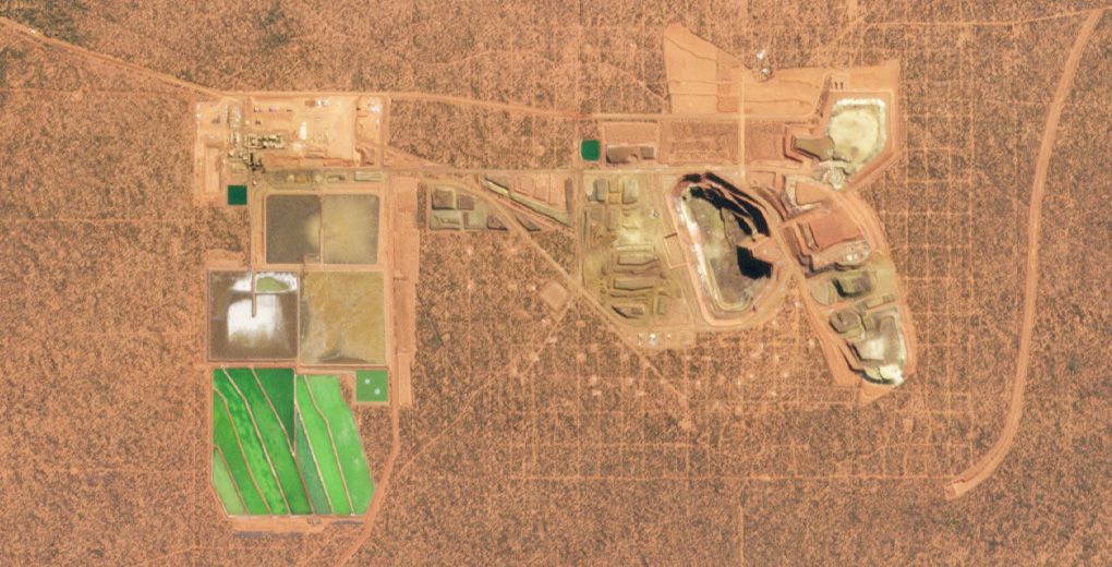
Energy
Monitor managed and competitor infrastructure and assets, prevent encroachment, assess supply and demand, and enhance security

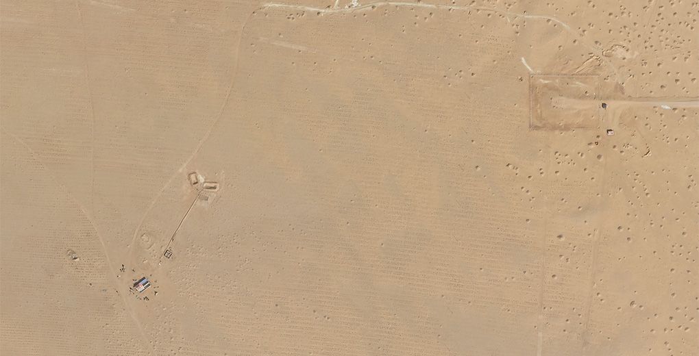
Insurance
Monitor wildfire, flood, and other natural disaster risks, assess previous and current conditions of insured assets, and make more informed plans to mitigate risk

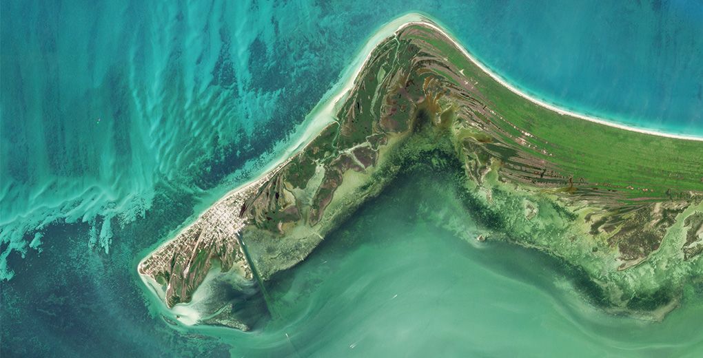
Maritime
Determine and optimize port throughput and capacity, track vessels, and monitor events that may disrupt logistics or uncover suspicious activity

Integrate with GIS tools
Seamlessly integrate daily imagery into your GIS workflows—discover, stream, and download Planet imagery directly from ArcGIS Pro and QGIS—and select locations on your maps to task new high-resolution imagery. Deliver Planet data directly to Google Earth Engine for large-scale analysis workflows.
Access Frequent, Accurate Data for Analysis
With nearly 200 Dove satellites collecting 300 million km² of high-resolution images daily, organizations can access and analyze accurate and current ground-truth data.
Reduce Data Storage Costs
Organizations no longer need to manage additional storage costs or build cloud infrastructure for large GIS datasets and satellite imagery. View and manage Earth observations and high-resolution satellite imagery through flexible and scalable Planet APIs or the cloud-based Insights Platform. Then, download them only as needed.
Integrate Into Existing Workflows
Integration with ArcGIS, QGIS, and GEE minimizes potential friction when teams onboard new systems or workflows. Seamlessly add Planet satellite data and Earth observations into existing databases, models, and tech stacks via three pathways:
- Desktop
- API-First
- Streaming to Open Geospatial Consortium (OGC) WMS or WMTS-compatible software
Receive High-Quality Data
Planet provides basic, orthorectified, radiance, and surface imagery via the following constellations:
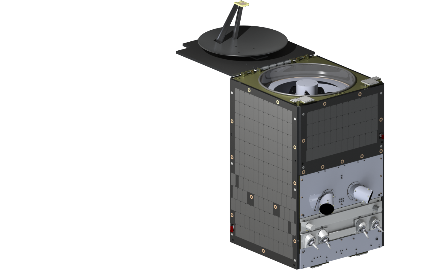
SkySat
5-band at 0.5 m pixel resolution:
- RGB
- NIR
- pan
PlanetScope
8-band at 3.7 m pixel resolution:
- Coastal Blue
- Blue
- Green I
- Green
- Yellow
- Red
- Red Edge
- NIR
Additionally, tasking activities can request enhanced, 50 cm ortho spatial resolution images, and subscribers receive access to an Archive of historical data that includes RapidEye images—5-band (RGB, red edge, NIR) at 5 m pixel resolution.
Build Up Data Layers
Combine private and public data with Planet Earth insights, updated daily to provide developers, data scientists, and GIS professionals with robust, multi-layered analysis capabilities. Spectral indices, statistics, time series, and visualizations analyzed with deep learning and computer vision produce GeoJSON and GeoTIFF feeds that:
- Detect and classify objects
- Identify geographic features
- Monitor change over time and around the globe
The Planet Subscriptions API will also continually improve data layers by providing cloud delivery of historical and ongoing imagery, metadata, and analysis relevant to a specified area of interest, time of interest, and data resource.
Distribute Insights and Reports
Planet APIs facilitate easy visualization and rapid analysis of aggregated data, providing synchronous results almost instantly and storing asynchronous results in cloud storage. Once processed, Planet exports the information to a GIS platform, custom application, or stream—making it readily available to employees, contractors, clients, or other relevant parties.
HOW IT CAN HELP
The Invaluable Benefits of Daily Data
Planet continuously updates commercial space images and data by operating constellations 24/7, with our commercial satellites completing roughly 16 orbits every day. This provides organizations with near-real-time geospatial intelligence to inform their decision-making. The most current data available enables teams to monitor and react agilely, observing and responding to trends or competitor activity that would otherwise be imperceptible.
The Subscription API expands upon this availability by sending requested and relevant datasets from Planet’s library as they are captured.
Utilizing an Extensive Historical Archive
Planet maintains an enormous vault of historical satellite imagery—more than 50 PB and 10 billion square kilometers covered across proprietary data in 2009 and public data in 1972.
Organizations can combine the Planet repository with their internal data to identify long trends, track minute changes, visualize the immediate before and after of an event, and understand the unique story of virtually any location on Earth.
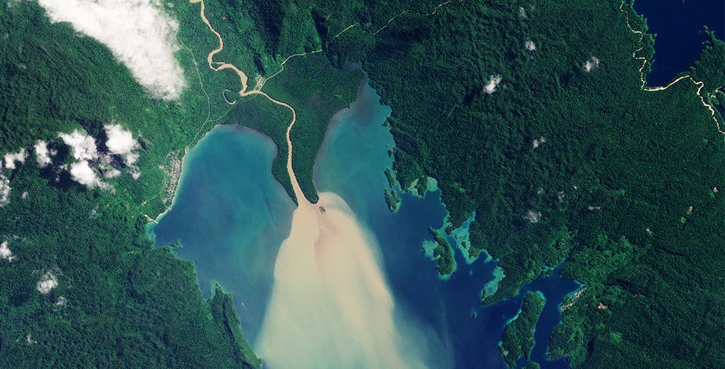
Ready-to-Use Imagery
High-resolution satellite imagery is accurate and accessible enough to use in presentations, white papers, and visual basemaps. These ready-to-use images accelerate report compilation and achieve greater accuracy than a graphic rendering.
Global Coverage and Access
Planet constellations ensure available imagery captures the entirety of Earth’s landmass every day. And, with Planet’s cloud-based Insights platform, these images and their analysis remain ubiquitously accessible as long as devices can connect to the internet.
That visibility provides unparalleled control over planning, decision-making, and optimization.
Is Planet Right for You?
Your organization could benefit from Planet’s near-real-time insights if…
1
You want more visibility into broad areas
Datasets from other commercial satellite imagery solutions often offer limited visibility, especially across broad or remote areas. But Planet provides an average of 2,200 detailed, near-daily images for any location on Earth.
2
You’re spending too much on your current solution
Hosted data solutions allow organizations to view data as needed and download it only when necessary, eliminating astronomical storage fees. What’s more, our remote technology eliminates costly in-person monitoring and promotes personnel safety.
3
You need reassurance before you can commit
We understand that an investment in technology should never be taken lightly. That’s why our Professional Services team helps you design a short-term, custom Proof of Concept to confirm that our solutions meet your current needs before you agree to a long-term commitment.
Let’s get started.
Begin your journey with Planet and learn how Commercial Satellite Imagery can empower you to take action and make change happen. The Planet Team is here to help, just get in touch.
© 2026 Planet Labs PBC. All rights reserved.
| Privacy Policy | California Privacy Notice |California Do Not Sell
Your Privacy Choices | Cookie Notice | Terms of Use | Sitemap
