Search

Planet Mosaics: Current, Complete, Analysis Ready
Power your applications and analytics with seamless mosaics built from the most recent satellite imagery from around the world.
More Than a Visual Solution
Power your workflows with an analysis-ready tool built with scientifically accurate data. Planet Mosaics delivers the best PlanetScope® imagery to support visual and automated analysis. Mosaics are fully integrated into Planet Insights Platform with seamless API and application access.
Uniform Analysis Across Broad Areas
Obtain consistent data critical for quantitative and machine learning workflows across broad areas by utilizing uniform and seamless mosaics built from 3 m global near-daily satellite imagery. This leads to more accurate, reliable analysis over time and space.
Leverage Global Near-Daily Imagery
Avoid costly errors that can occur from obsolete and incomplete data by leveraging frequently updated mosaics that cover entire areas of interest. Delivered as frequently as weekly, Planet Mosaics support critical time-series analysis and operational intelligence by providing reliable, consistent information across broad regions
Choose Your Mosaic
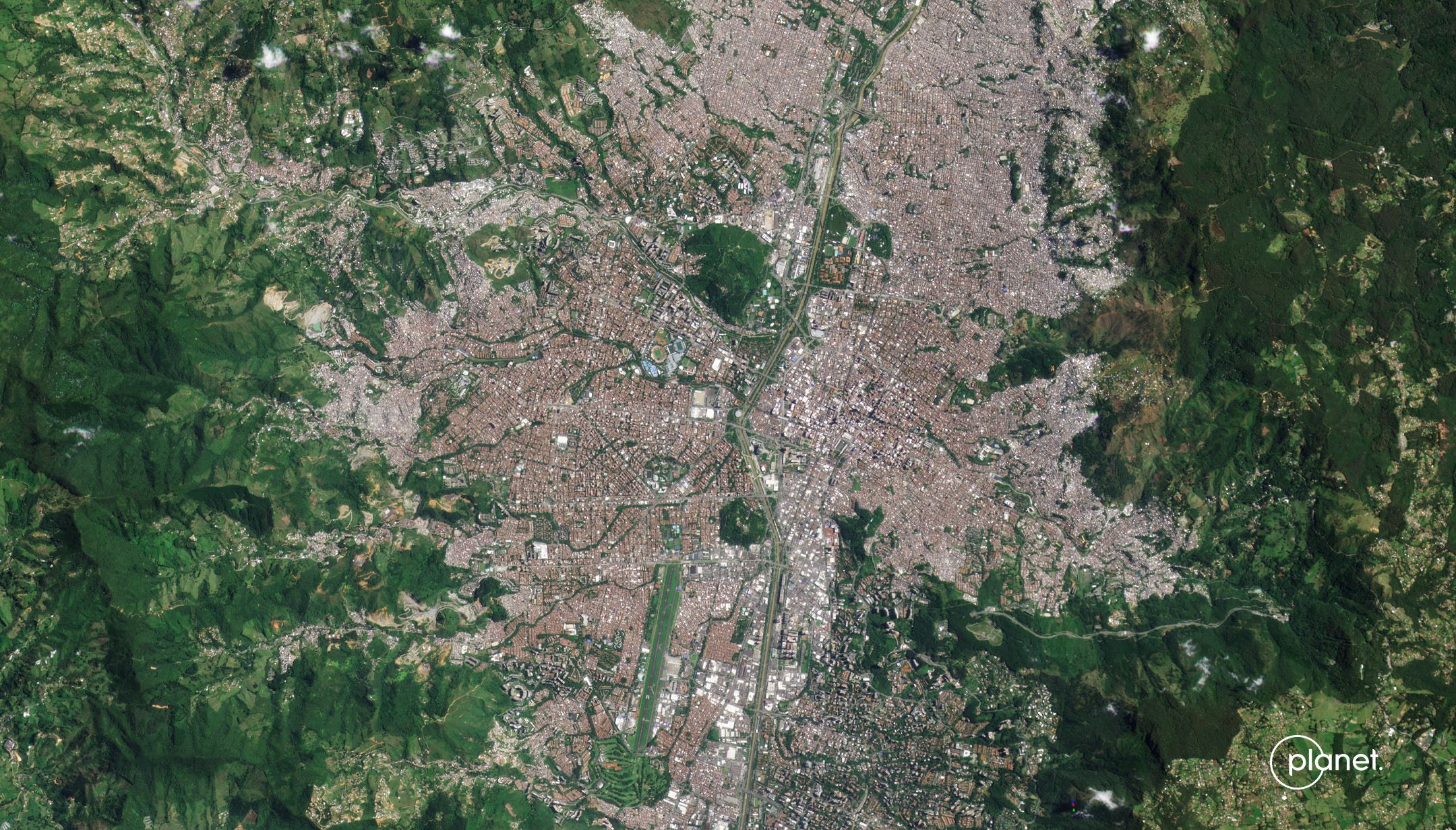
Visual Mosaics
Monitor evolving landscapes and infrastructure over time and derive insights from advanced analytics across large regions. Visual Mosaics give you the power to define what you need, where you need it, and how often – without sacrificing coverage or quality.
- Seasonally color-balanced, seamless, cloud-free
- Spatially accurate data with minimized haze, light, and topographic effects
- Suited for computer vision analytics
Visual Mosaic of Italy
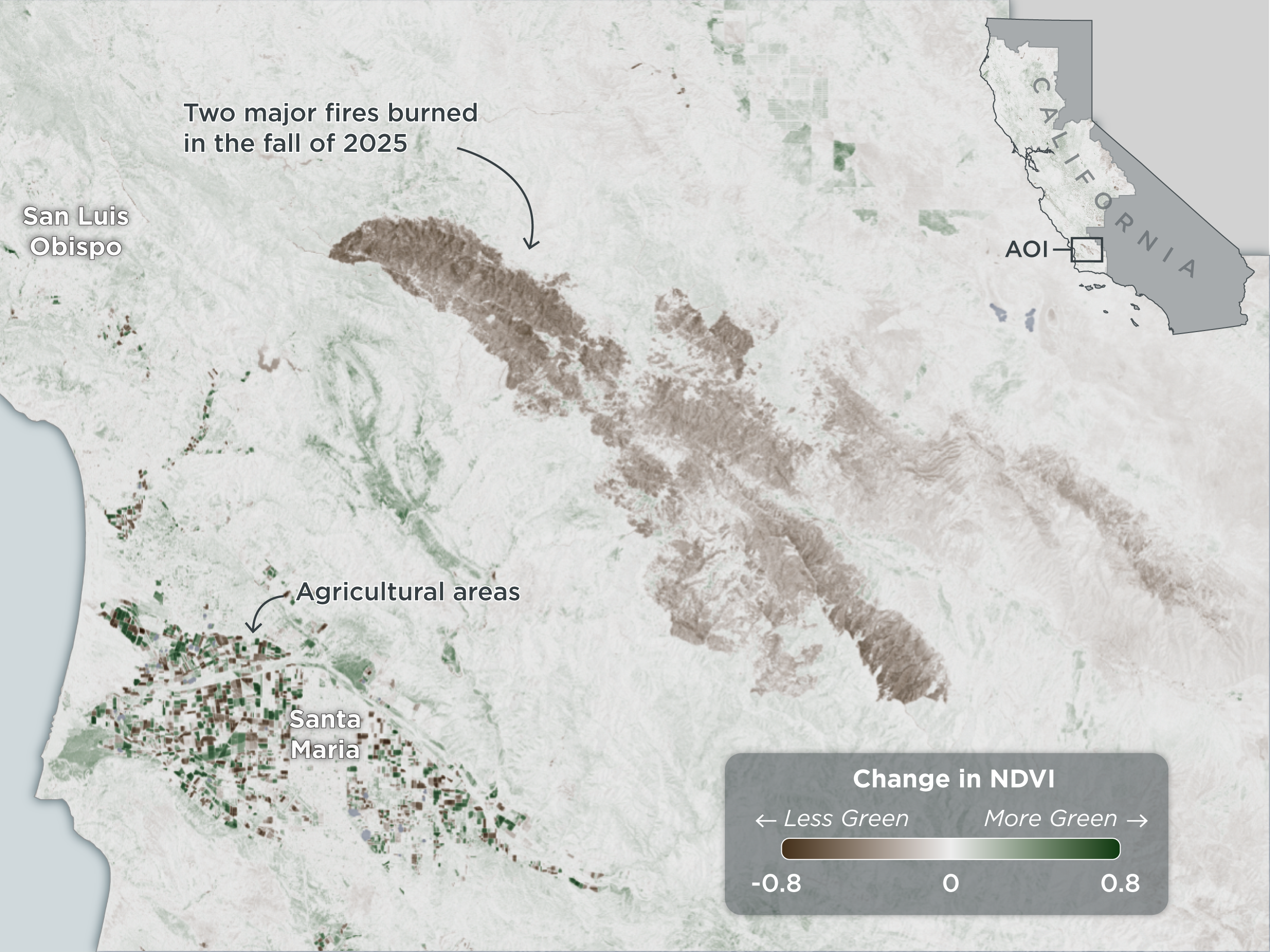
Comparison of Normalized Difference Vegetation Index (NDVI) between the weeks of October 21-27, 2024, and October 20-26, 2025. Coastline and elevation data from USGS.
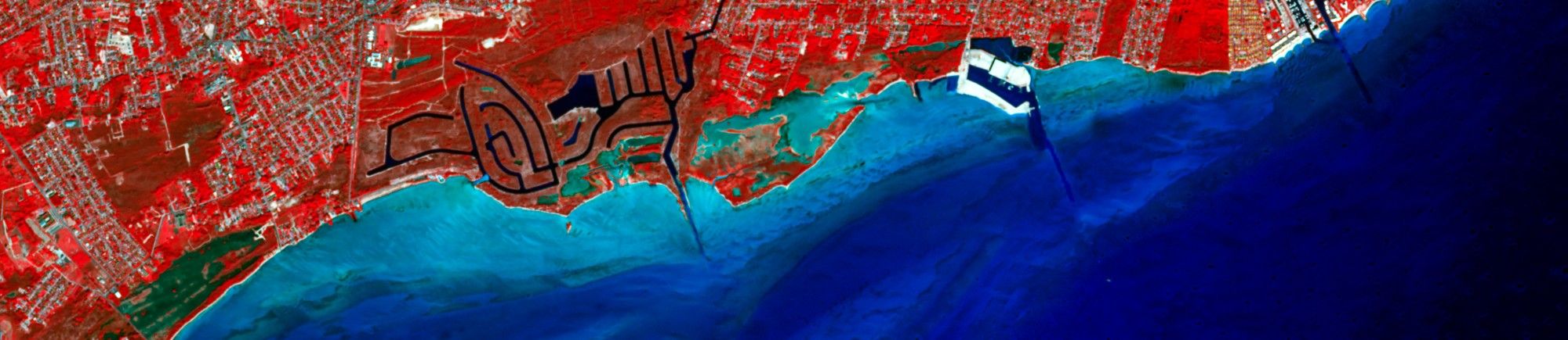
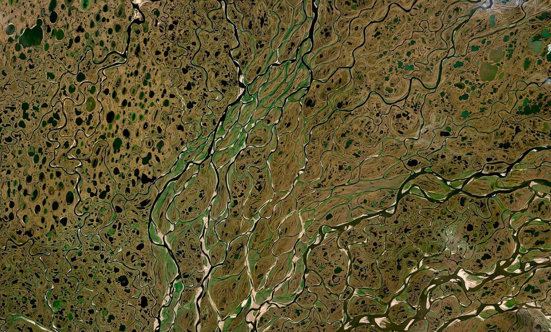
Normalized Surface Reflectance Mosaics
This product leverages advanced image processing techniques on PlanetScope imagery to remove atmospheric effects, optimize pixel accuracy, and empower deep spectral and quantitative analysis.
- Optimized for pixel accuracy to inform robust quantitative analysis
- Minimized effects of atmosphere and sensor characteristics to reflect ground truth
- Suited for a variety of vegetation indices, including NDVI, EVL, NDWI, and more
How It Works
Actionable Insights at the Highest Frequency,
Tailored to You
With Planet Mosaics, customers have access to accurate, up-to-date, and seamless geospatial data captured by the world's largest fleet of satellites.
STEP 1
Select Area
Define your coverage area
STEP 2
Select Imagery Type
Choose either Visual or Normalized Surface Reflectance
STEP 3
Select Updates
Choose between quarterly, monthly, biweekly or weekly
STEP 4
Select Delivery Type
Choose between web streaming or download


Planet Mosaics and GIS:
Flexible Delivery, Efficient Integration
Use Planet Mosaics within your preferred GIS environment. Access Mosaics efficiently online in a variety of formats.
- Ready to use with popular GIS applications, including ArcGIS and QGIS
- Web streaming via XYZ and WMTS services
Get the new add-in for easy, rapid integration with Esri ArcGIS Pro.
DownloadGLOBAL MOSAIC
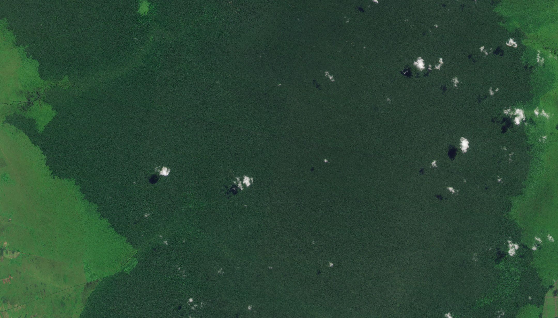
Timely, Global Context for Mapping and Visualization
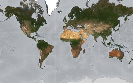
Planet integrates 1.5+ million scenes to produce the most comprehensive annual Global Mosaic for the Earth’s entire landmass. This global layer is ideal for mapping, updating charts, and visualization.
Global Context
Planet's Global Mosaic provides complete coverage over the Earth's landmass.
Global Context
Planet's Global Mosaic provides complete coverage over the Earth's landmass.
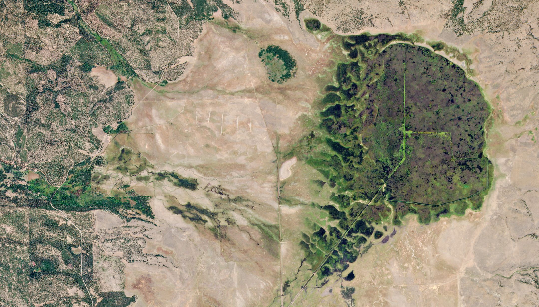
Custom Mosaics
Build mosaics for your specific needs and use cases with Custom Mosaics. Define areas of interest, source imagery, frequency, delivery method, and imagery settings.
Custom Mosaics Options
HOW IT CAN HELP
Power Your Analytics and Applications with Mosaics Built from Daily, Global Imagery
Unlike traditional mosaics, Planet allows you to use the most recent satellite imagery over your areas of interest, with updates at the frequency you need. Use Planet Mosaics to inform applications and analytics, build situational awareness, derive insights across large regions, and monitor change across time.
To learn more about Planet Mosaics, visit Planet University.
Planet selects the best pixels from its high cadence satellite feed and transforms them into spatially accurate mosaics, providing a precise picture of the world's entire landmass.
Read More
Planet Mosaics in Use Around the World
Turn Geospatial Data into Insights with Planet Mosaics
Mosaics automate a set of imagery preprocessing steps to ensure that you get the most from Planet's global, high-frequency satellite imagery. Looking for something not listed here? Planet can work with you to find the right solution for your application.
© 2026 Planet Labs PBC. All rights reserved.
| Privacy Policy | California Privacy Notice |California Do Not Sell
Your Privacy Choices | Cookie Notice | Terms of Use | Sitemap
