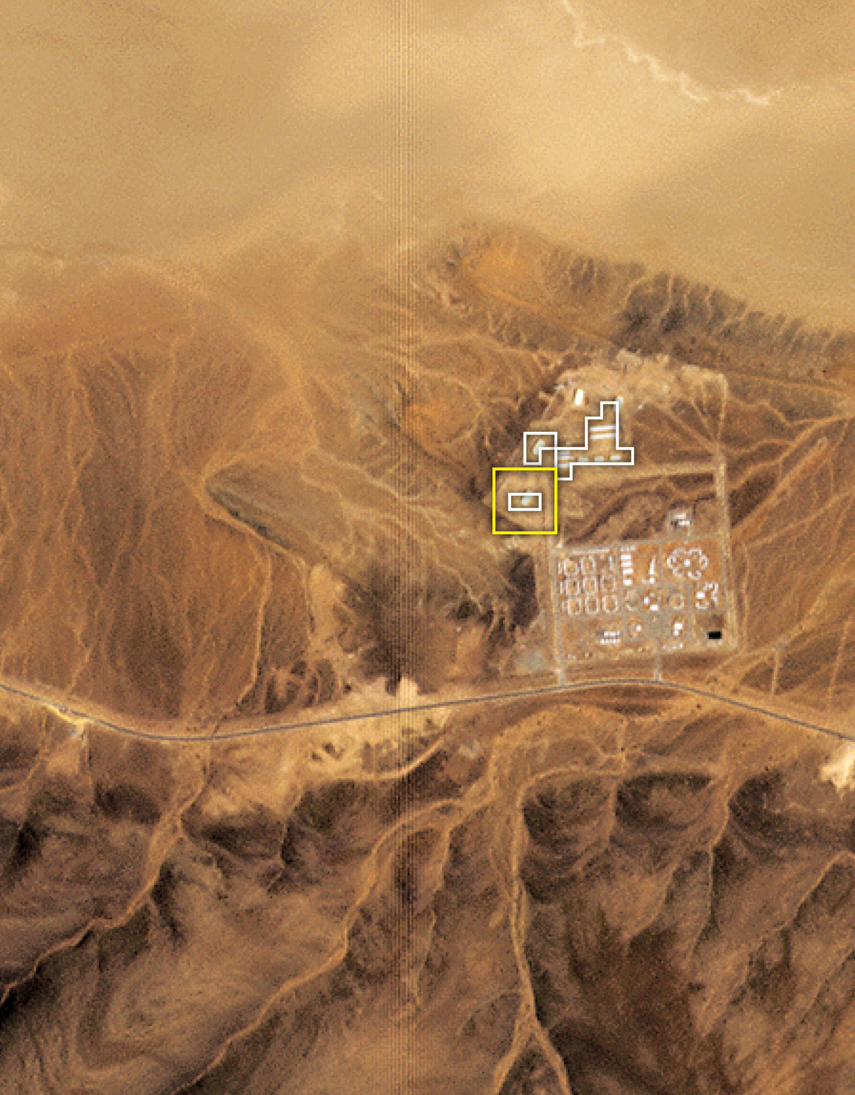
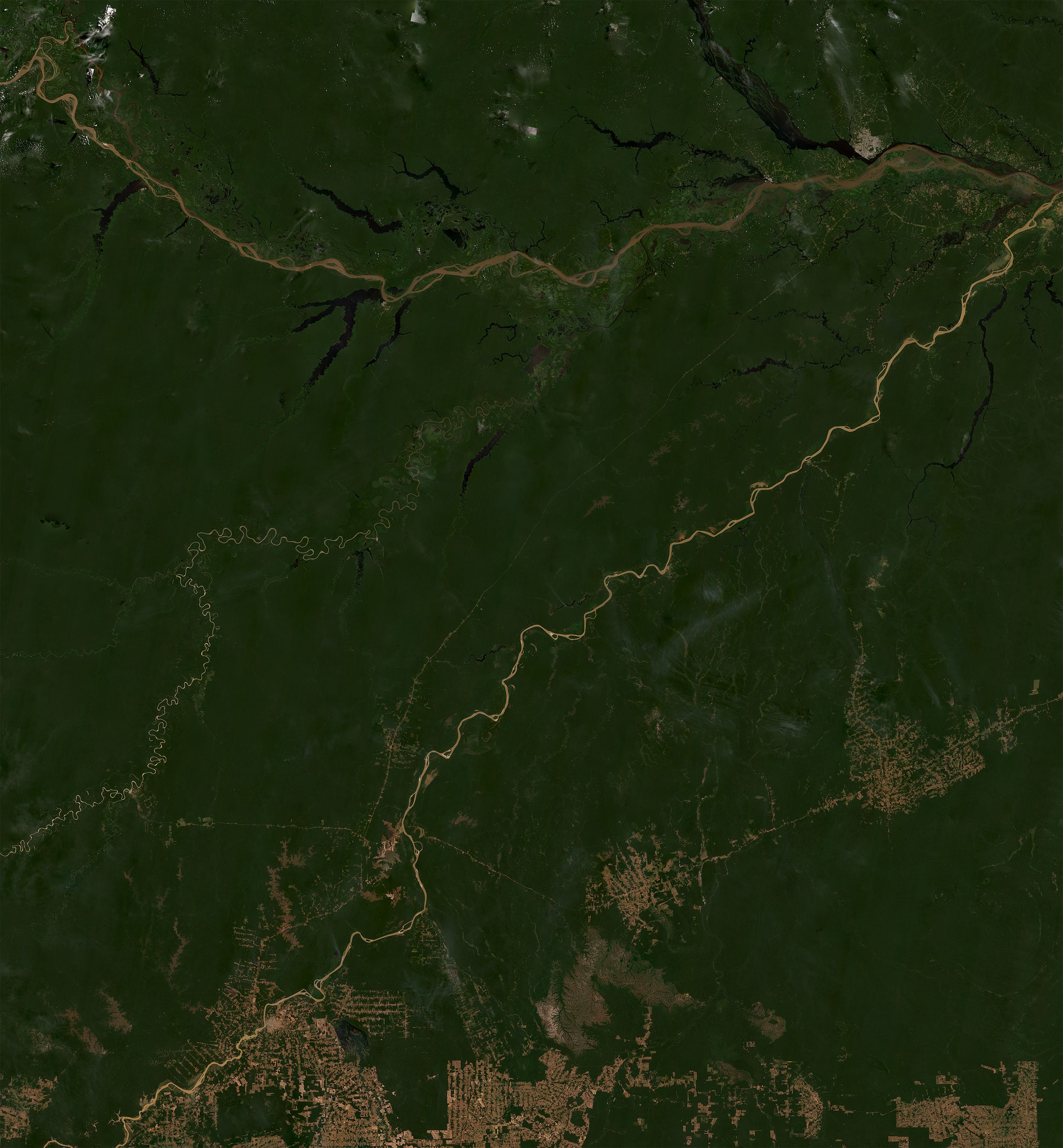
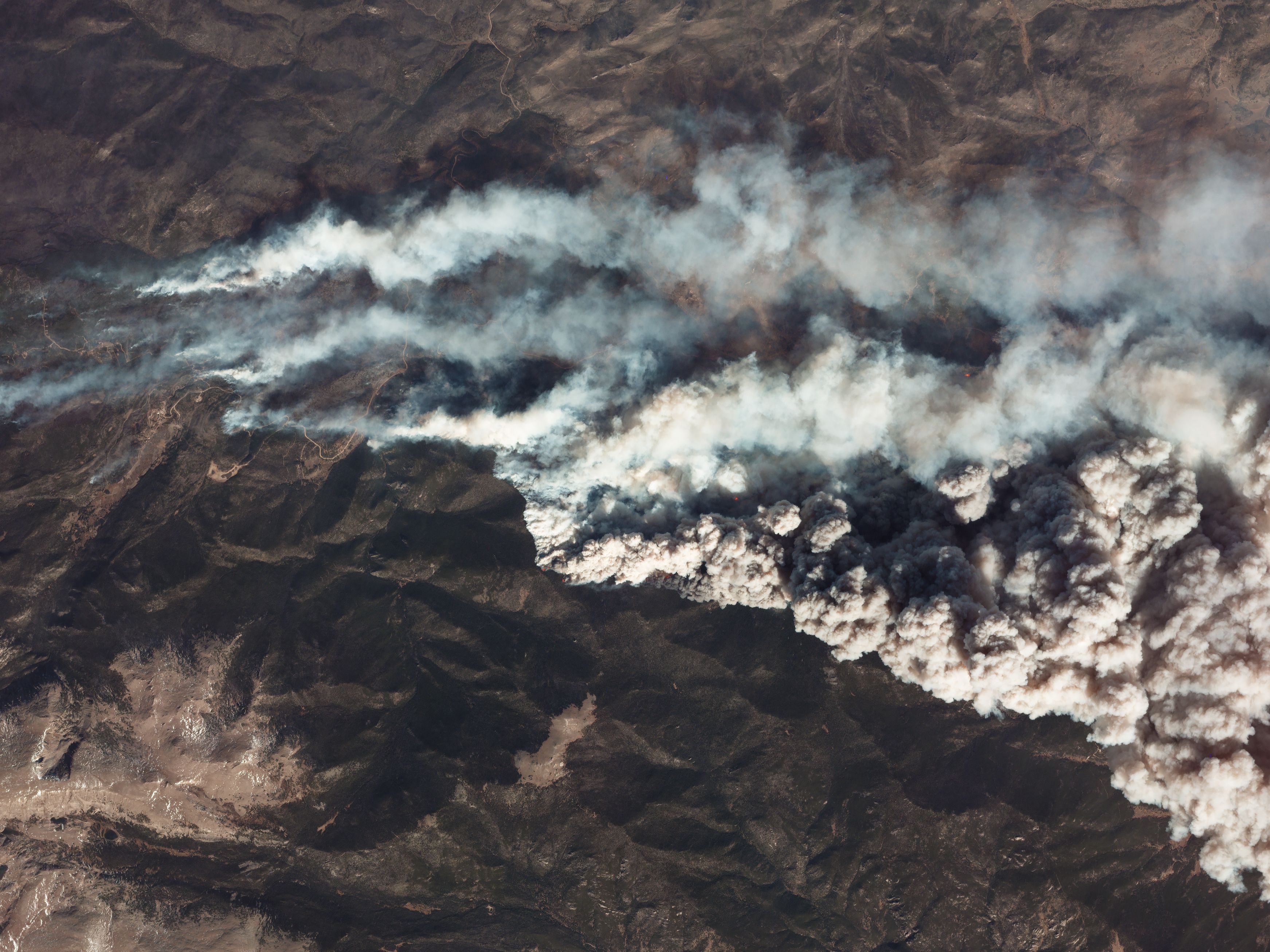
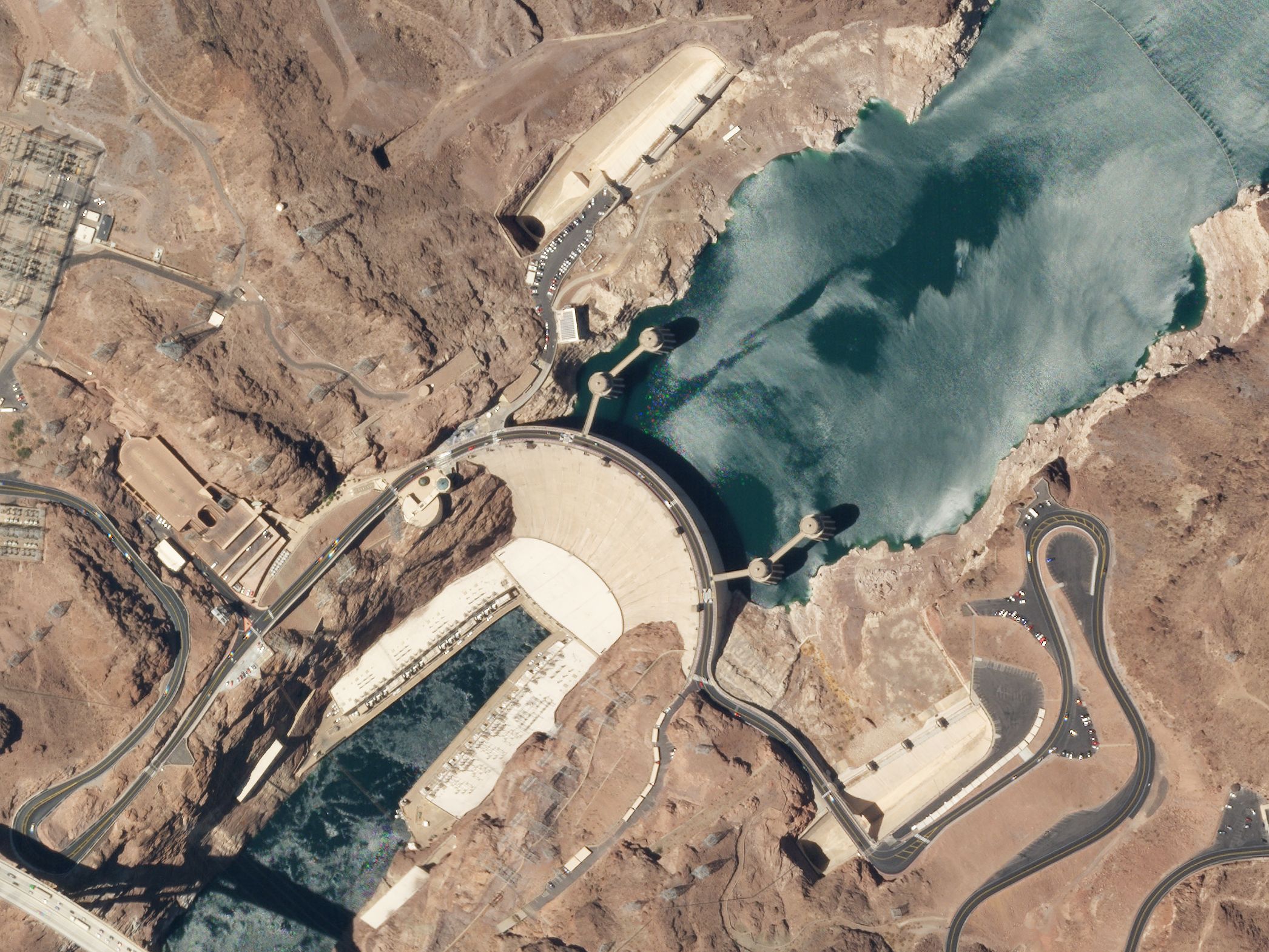
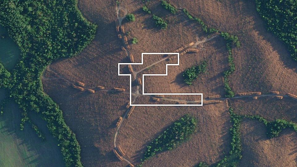
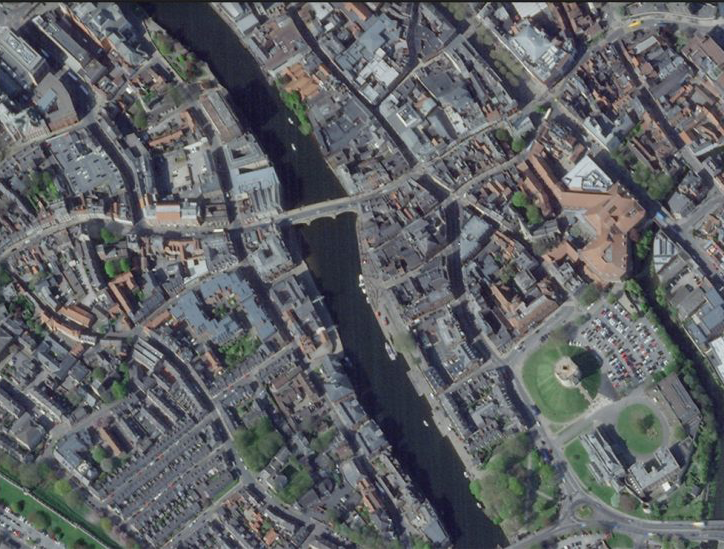
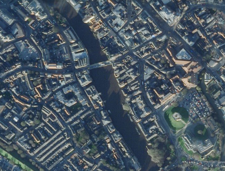
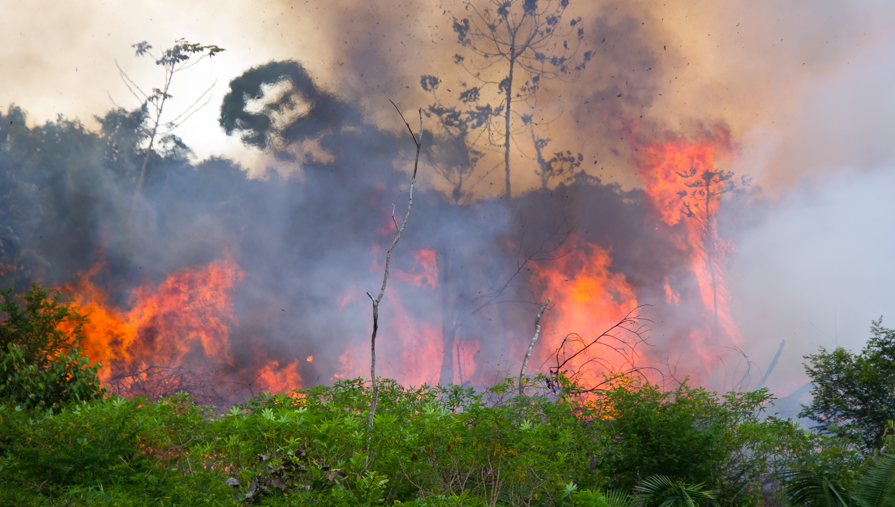
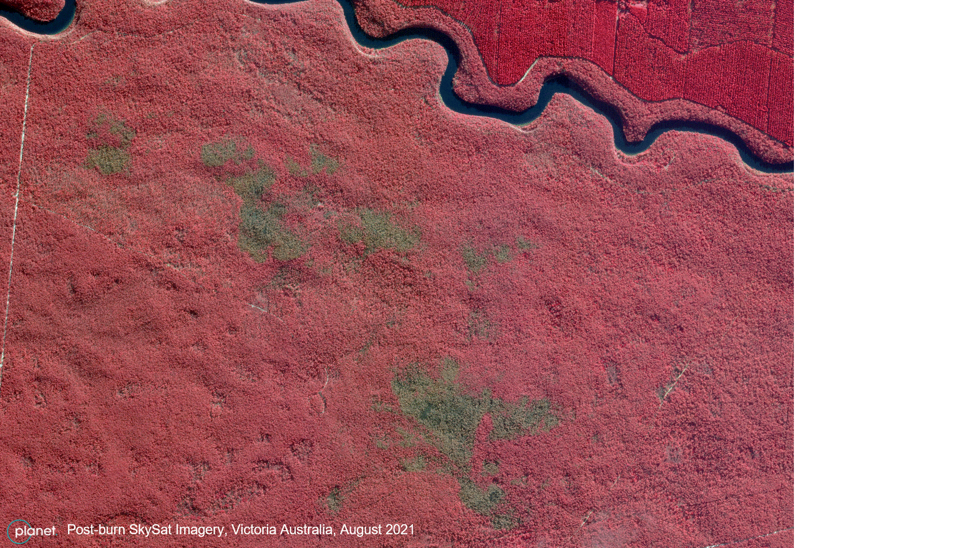
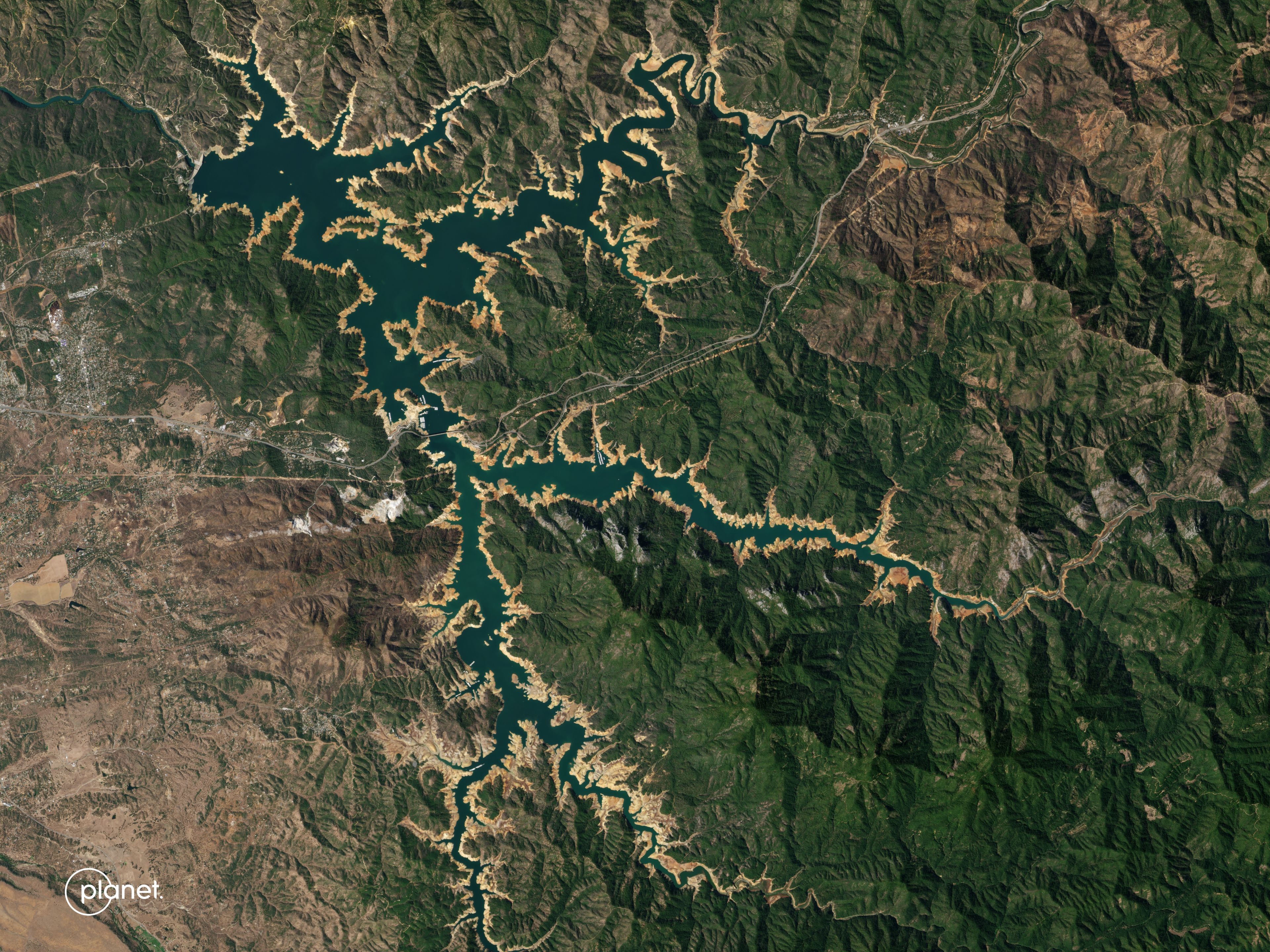
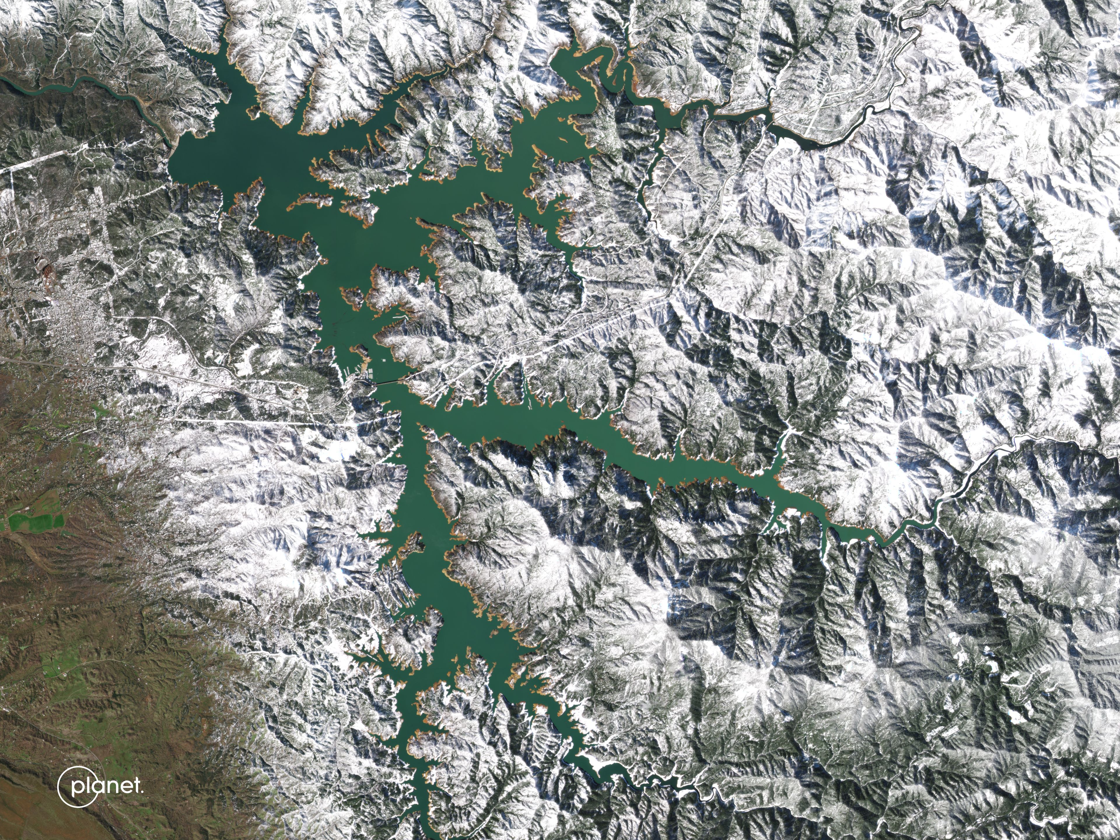
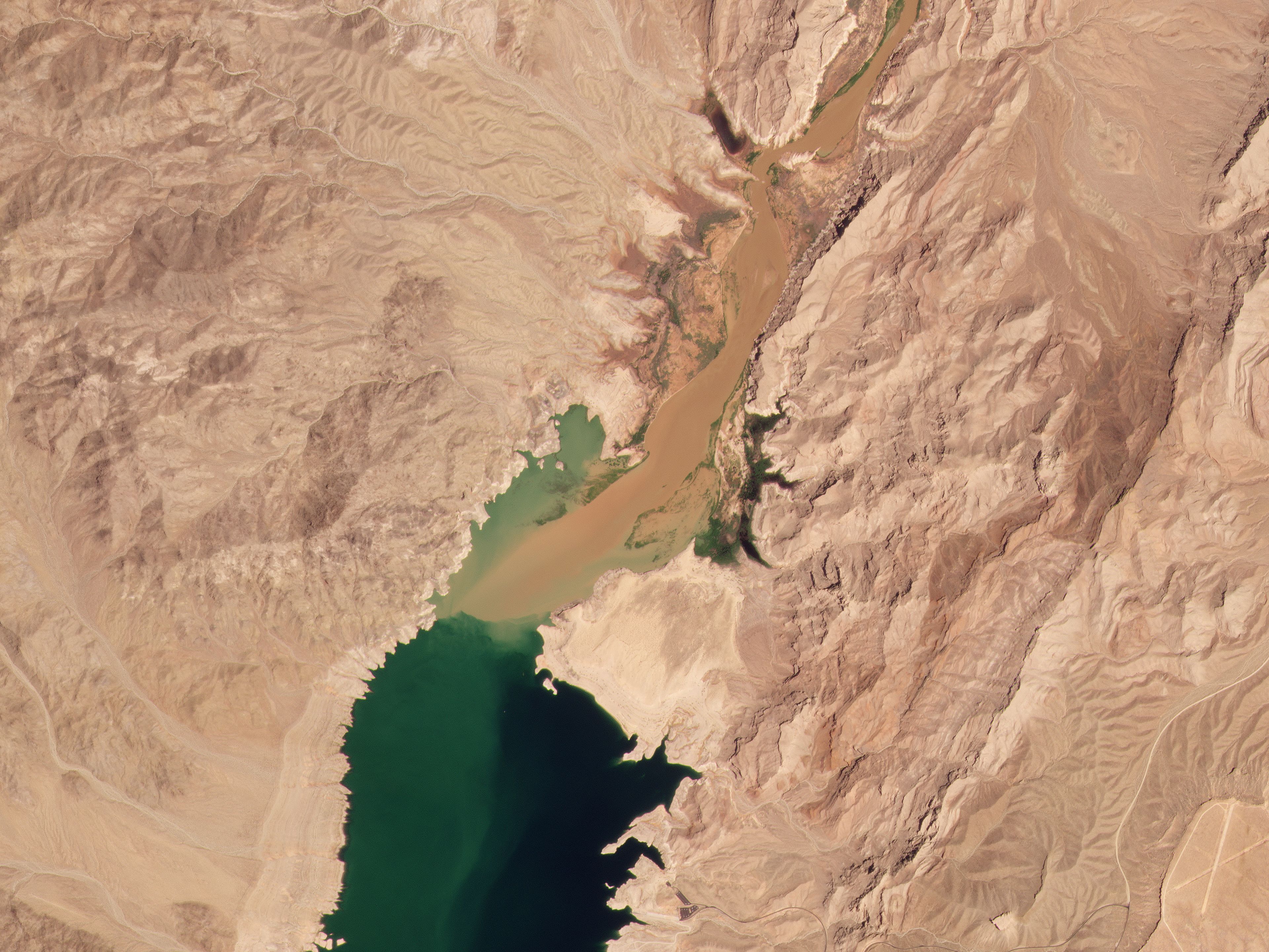
Monitor. Detect. Take  Action.

Help preserve Earth’s critical resources. Planet satellite data provides near-daily insights and transparency to drive efficiencies, action, and results.

Sign up for emails

Move from inaction to  intelligence

Derive deeper insights from satellite data, and power solutions that balance economic growth with environmental protection

Loading

Manage the world’s natural resources with the latest earth observation technologies

Scroll to discover how satellite data is empowering governments and organizations around the world.

Efficient, scalable code & permit compliance

New regulations and permit requirements are changing how businesses operate and how governments manage enforcement.

High-resolution, high-frequency satellite data delivered in an open, accessible way enables efficient analysis to support sustainability and economic efforts.

2022
April 25, 2022

Responding to illicit activities quickly and efficiently

Using Planet imagery and change-detection alerts from SCCON Geospatial, The Brazilian Federal Police quickly, efficiently, and safely detect and respond to illegal activities happening across vast, at-risk areas.

READ THE FULL CASE STUDY

$1.0B USD

COLLECTED IN FINES, SEIZED GOODS, AND FROZEN ASSETS FROM BRAZILIAN ENVIRONMENTAL CRIMES AND ILLICIT ACTIVITIES

6.6M

NUMBER OF SQUARE KILOMETERS OF BRAZILIAN TERRITORY AND MARINE COAST SCANNED DAILY

3,298

NUMBER OF AGENTS MOBILIZED TO MONITOR ILLEGAL ACTIVITIES IN 120+ JOINT OPERATIONS

Source: Policia Federal Platform, SCCON (Last update: Nov 4, 2022)
2023
January 7, 2023

Improve disaster preparedness, response and recovery

"Thirty-two countries are experiencing increasing floods, with 25 more poised to be added to that list by 2030." - CNN

Satellite imagery provides a cost-effective way to keep tabs on the potential for disaster.

Monitoring sewage from space

In 2022, London experienced a flash flood that overloaded sewers. To mitigate future flood and health risks, a research project was conducted combining AI and Planet satellite technology.

Planet imagery was used to help detect organic matter from sewage overspills and downstream impact, playing a major role in building scenarios for current future predictive analysis.

READ THE FULL STORY

Mitigate the impact of wildfires

Wildfire ‘season’ is no more; agencies need to be prepared for fire to hit at any time. Wildfires pose an extreme liability to local areas, but preventative measures enabled by satellite imagery can help reduce risk.

Post-burn SkySate imagery, Victoria Australia, August 2021

Enabling preventative bushfire management with satellite data

Forest Fire Management Victoria, an Australian governmental organization, leverages Planet’s rapid revisit SkySat imagery to create burn severity maps and review ecological impacts.

Read "Planet for Disaster & Emergency Management" to learn more about emergency lifecycle management across wildfire, drought, tornadoes, and flooding events.

DOWNLOAD THE EBOOK

Protect vulnerable water resources

Droughts are becoming more frequent, distressing the health of communities and protected habitats. Tracking changes in water levels can help proactively plan for allocation and conservation.

Planet’s high-frequency imagery reveals historically low water levels in Lake Mead, a source of drinking water and agricultural irrigation for multiple states across the western US. The data derived from these images empowers local agencies to create strategic allocation and conservation plans.

Read “Understanding a New World of Water” to learn how satellite data helps aid management of water resources.

DOWNLOAD THE EBOOK

Product Highlights

Global, near real-time, analysis-ready data from the world’s largest fleet of commercial earth observation  satellites

DOWNLOAD PRODUCT DATA SHEETS

Roughly 200 satellites provide a high-resolution, continuous, and complete view of the world from above, every day

Monitoring

Roughly 200 satellites provide a high-resolution, continuous, and complete view of the world from above, every day

Frequent, intraday revisit capabilities, 50 cm resolution, and an automated tasking dashboard enable real‑time decision making to empower rapid, informed action

Tasking

Frequent, intraday revisit capabilities, 50 cm resolution, and an automated tasking dashboard enable real‑time decision making to empower rapid, informed action

High‑spatial and uninterrupted, analysis‑ready data from across the EM spectrum measure soil water content, land temperature, and vegetation biomass

Planetary Variables

High‑spatial and uninterrupted, analysis‑ready data from across the EM spectrum measure soil water content, land temperature, and vegetation biomass

An automated, scalable, cloud‑based imagery and analytics platform that provides access to download‑ready datasets through simple web‑based tools and user‑friendly APIs

Platform

An automated, scalable, cloud‑based imagery and analytics platform that provides access to download‑ready datasets through simple web‑based tools and user‑friendly APIs

Ready for more  information?

Sign up to receive emails from Planet

Planet Monitoring
Investors

© 2024 Planet Labs PBC. All rights reserved.
| Privacy Policy | California Privacy Notice |California Do Not Sell
Your Privacy Choices  | Cookie Notice | Terms of Use