Search
Data-Driven Sustainability Reporting
Sustainability ambitions and compliance require understanding, managing and reporting change. Planet data plays a central role in offering unprecedented resolution to see changes at the scale and pace that they occur.
Sustainable Transformation
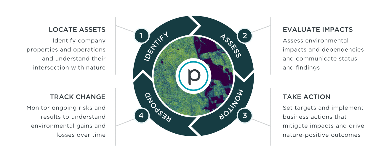
Integrated Monitoring and Actionable Insights
Planet’s high-resolution and high-frequency imagery, along with advanced analytics, form a framework for monitoring every aspect of the value chain and delivering trustworthy insights into operations. Combined with our partners' solutions, we transform data into actionable insights to develop strategies and elevate transparency in Impact reporting.

GEOSPATIAL SOLUTIONS FOR SUSTAINABILITY
Leverage Planet data and partner products for sustainability reporting
Document sustainable sourcing practices and assess your entire product lifecycle. Near real-time insights help organizations avoid fines that damage their bottom line and brand.
Project Centinela Biodiversity Program
Planet delivers high-resolution, high-cadence satellite imagery, analytics, and derivative insights from Planetary Variables for some of the world’s most vulnerable high-biodiversity sites to accelerate conservation outcomes.
Learn more about Project Centinela.
SATELLITE DATA FOR EUDR COMPLIANCE VALIDATION
Planet helps organizations assess risk and manage EUDR requirements with near-daily broad area monitoring, automated change detection, and analysis-ready Forestry Variables.
Read more in our EUDR White Paper.
BRIDGING TECHNOLOGY AND BIODIVERSITY REPORTING
Together, Microsoft and Planet demonstrate the feasibility and value of biodiversity and ecosystem reporting, using real-world examples of EO and AI technologies for cost-effective reporting.
Improve environmental knowledge-building in our co-authored white paper.
Accelerating Sustainable Development - Examples
The Fierce Urgency of Now
With a growing global population, responding to the linked challenges of sustainable development, loss of biological diversity, and climate change is critical. For humanity to prosper, we must transition to practices that operate within the limits of Earth’s life-support systems. We have entered a critical decade of action.
Whether you’re a government, a company or an NGO, Planet’s data can help you develop sustainable solutions, measure climate risk, and meet the Sustainable Development Goals.
![[object Object]](https://cdn.sanity.io/images/hvd5n54p/production/8f71d662c390a165223d82957d6b82635d98e17a-1590x1080.jpg?auto=format)
2022/2023
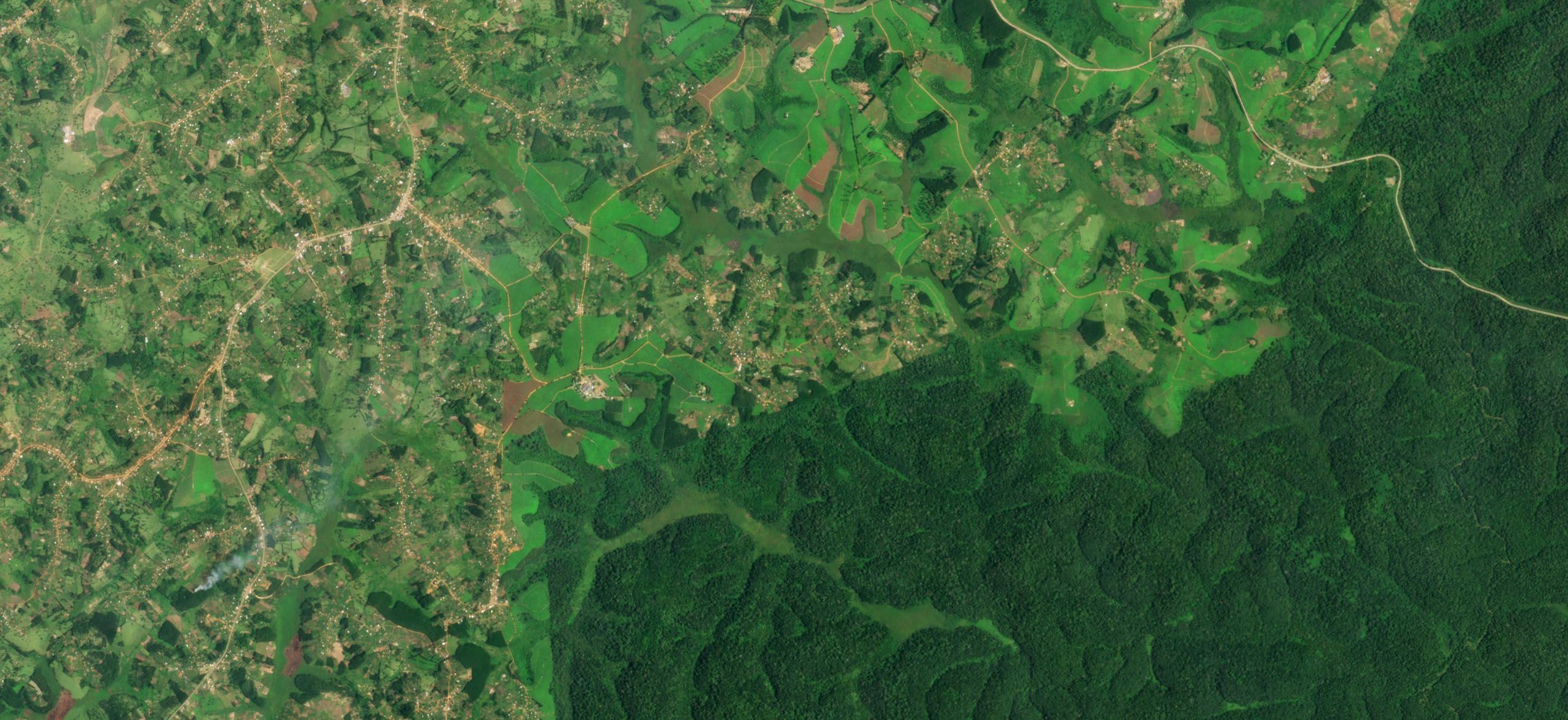
Combating deforestation in Indonesia
Planet imagery showing a time series map of deforestation in Indonesia on Nusantara Atlas—a frontline in the battle against deforestation in palm oil, pulp-and-paper, and mining supply chains in Asia.
Learn more about EUDR2022/2023
Combating deforestation in Indonesia
Planet imagery showing a time series map of deforestation in Indonesia on Nusantara Atlas—a frontline in the battle against deforestation in palm oil, pulp-and-paper, and mining supply chains in Asia.
Learn more about EUDR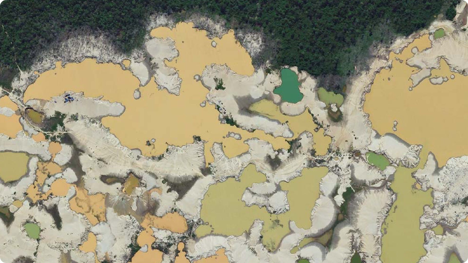
Tailings produced by informal gold mining in Inambari, Peru • May 25, 2016

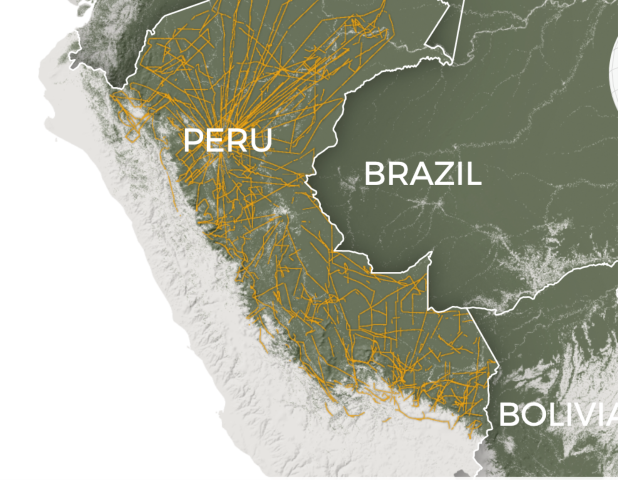
Tailings produced by informal gold mining in Inambari, Peru • May 25, 2016
See our data in action measuring forest carbon stocks in Peru.
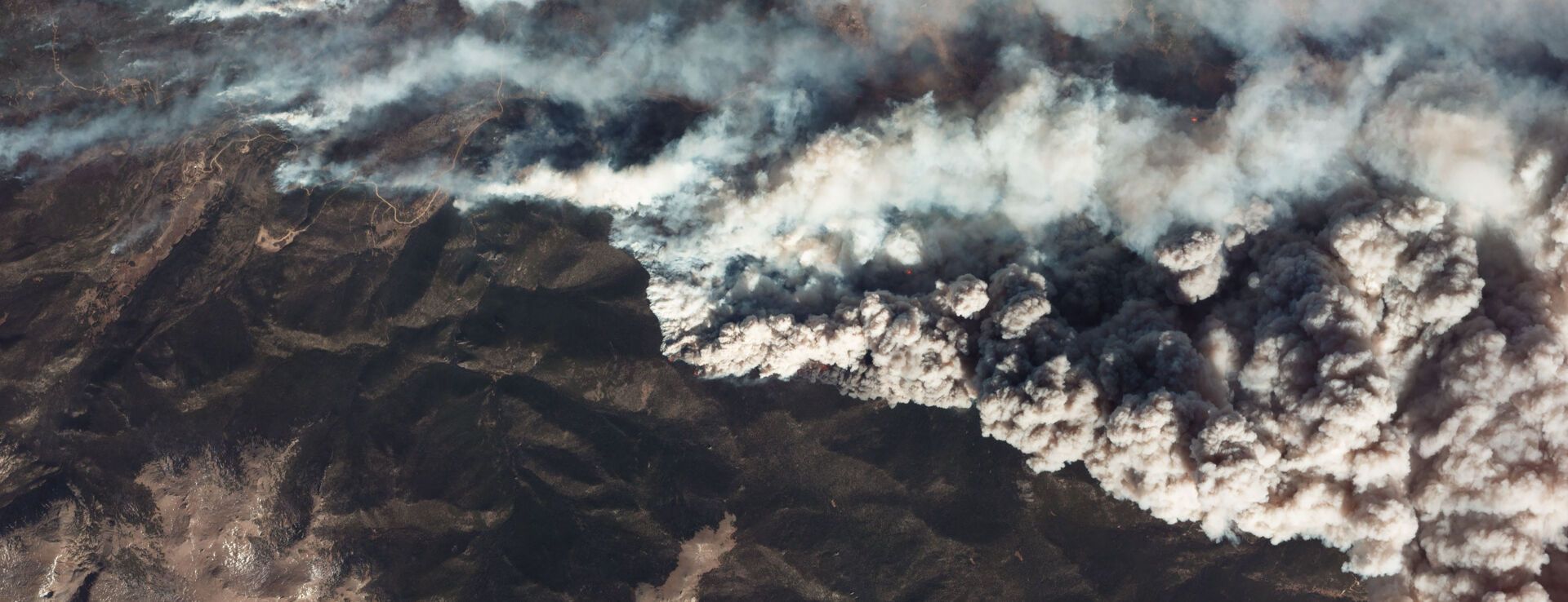
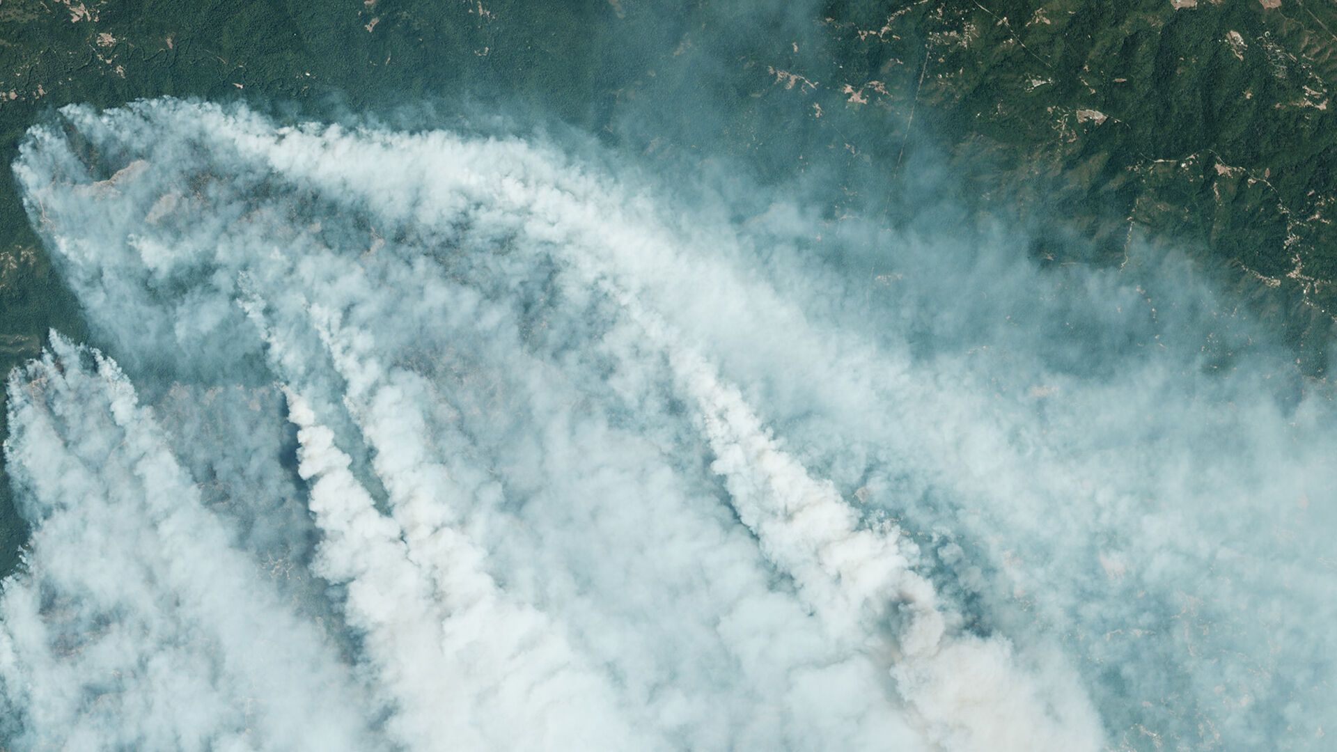
Illuminate Climate Risks
Planet’s satellites can help reveal social, environmental, and climate risks in unprecedented detail, powering a new generation of policy and innovative sustainable financial instruments.
![[object Object]](https://cdn.sanity.io/images/hvd5n54p/production/749e7b7734bfce65b05230f90c3fa2aa23fb0c8f-651x366.png?auto=format)
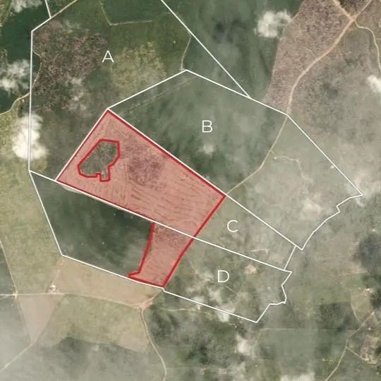
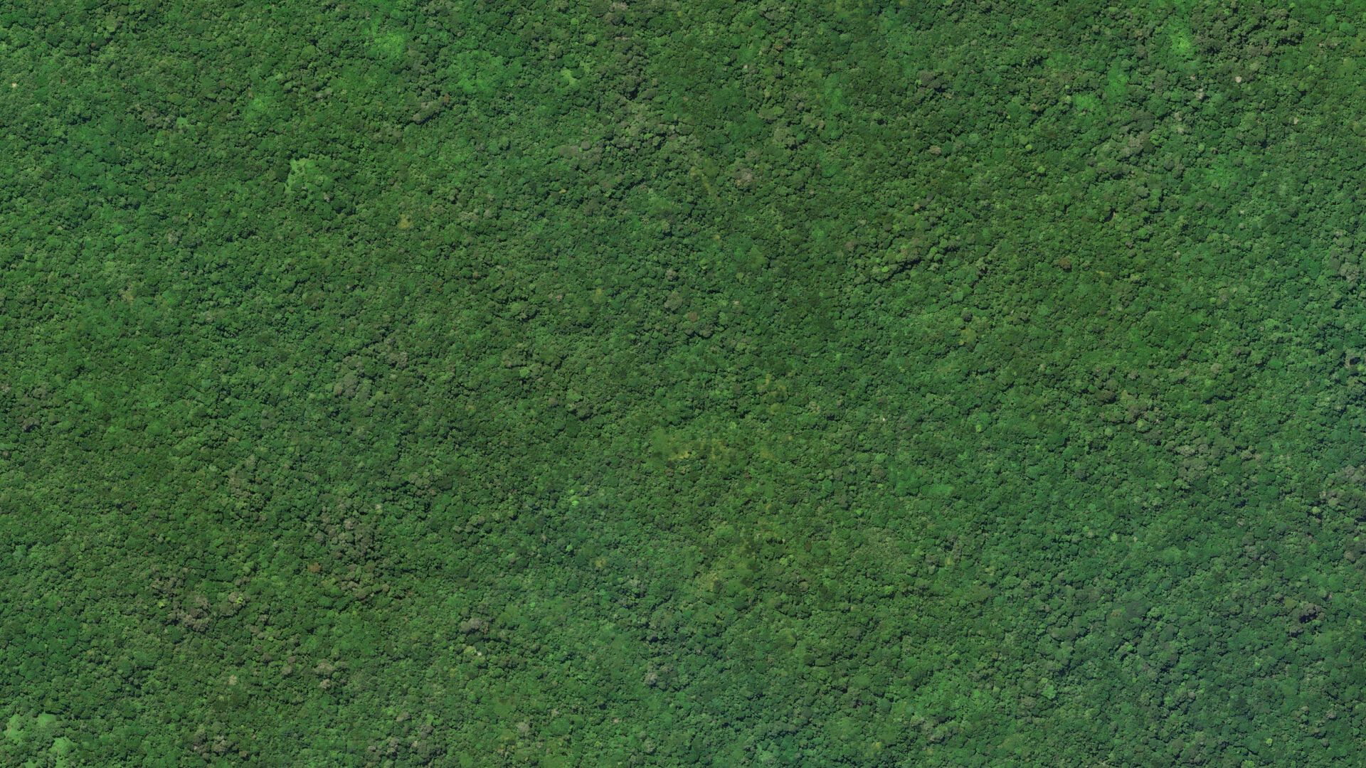
Assessing Forest Degradation in Brazil
Mapping Amazon degradation, caused by logging and fragmentation is crucial as 86% of degraded forests aren't cut down in subsequent decades. The region emits more carbon from degradation than deforestation.
Assessing Forest Degradation in Brazil
Mapping Amazon degradation, caused by logging and fragmentation is crucial as 86% of degraded forests aren't cut down in subsequent decades. The region emits more carbon from degradation than deforestation.
![[object Object]](https://cdn.sanity.io/images/hvd5n54p/production/94ecd08e7c4c2c4a09c9474fad6e38b313e371ff-651x366.png?auto=format)
Assessing Forest Degradation in Brazil
Mapping Amazon degradation, caused by logging and fragmentation is crucial as 86% of degraded forests aren't cut down in subsequent decades. The region emits more carbon from degradation than deforestation.
Assessing Forest Degradation in Brazil
Mapping Amazon degradation, caused by logging and fragmentation is crucial as 86% of degraded forests aren't cut down in subsequent decades. The region emits more carbon from degradation than deforestation.
![[object Object]](https://cdn.sanity.io/images/hvd5n54p/production/614bd83bca7c5dda7dbce8ba4a3684244edf2d81-651x366.png?auto=format)
Assessing Forest Degradation in Brazil
Mapping Amazon degradation, caused by logging and fragmentation is crucial as 86% of degraded forests aren't cut down in subsequent decades. The region emits more carbon from degradation than deforestation.
Assessing Forest Degradation in Brazil
Mapping Amazon degradation, caused by logging and fragmentation is crucial as 86% of degraded forests aren't cut down in subsequent decades. The region emits more carbon from degradation than deforestation.
With Planet’s data, you can:
Measure natural capital, ecosystem services, and climate risks, such as flooding, famine, and wildfire
Leverage our aboveground forest carbon, tree height, and canopy cover dataset
Monitor deforestation and ensure compliance with the EU Deforestation Regulation

Gain Unprecedented Insights
To address big global challenges, industry and governments need to work together and leverage all available technologies.
Advances in artificial intelligence and cloud computing are creating new opportunities for organizations to derive deeper insights from satellite data, and powering novel solutions that balance economic growth with environmental protection.
We convened a panel of leading thinkers in technology, government and climate science to discuss how to address our most pressing climate challenges with powerful new datasets. Speakers include:
- Marc Benioff, Founder and CEO of Salesforce
- Sundar Pichai, CEO of Google and Alphabet
- Alok Sharma, President of COP26
- Katherine Hayhoe, Chief Scientist for the Nature Conservancy
- Will Marshall, Co-founder and CEO of Planet
- Moderated by: Trish Wilson, Washington Post’s Climate & Environment editor
Discover Planet’s work
in sustainability.
© 2026 Planet Labs PBC. All rights reserved.
| Privacy Policy | California Privacy Notice |California Do Not Sell
Your Privacy Choices | Cookie Notice | Terms of Use | Sitemap
