Planet is the leading provider of global, near-daily satellite imagery data and insights. Planet is driven by a mission to image all of Earth’s landmass every day, and make global change visible, accessible, and actionable. Founded in 2010 by three NASA scientists, Planet designs, builds, and operates the largest Earth observation fleet of satellites, providing State and Local governments insights to make the right decision at the right time. To learn more visit www.planet.com and follow us on Twitter at @planet
Planet Can Help Address
Support the valuation of environmental assets;
Monitor ecosystem boundaries;
Illuminate environmental and social changes (indicators);
Ensure compliance with new global export regulations on deforestation and forest degradation.
Inclusive And Sustainable Development To Address The ClimateCrisis
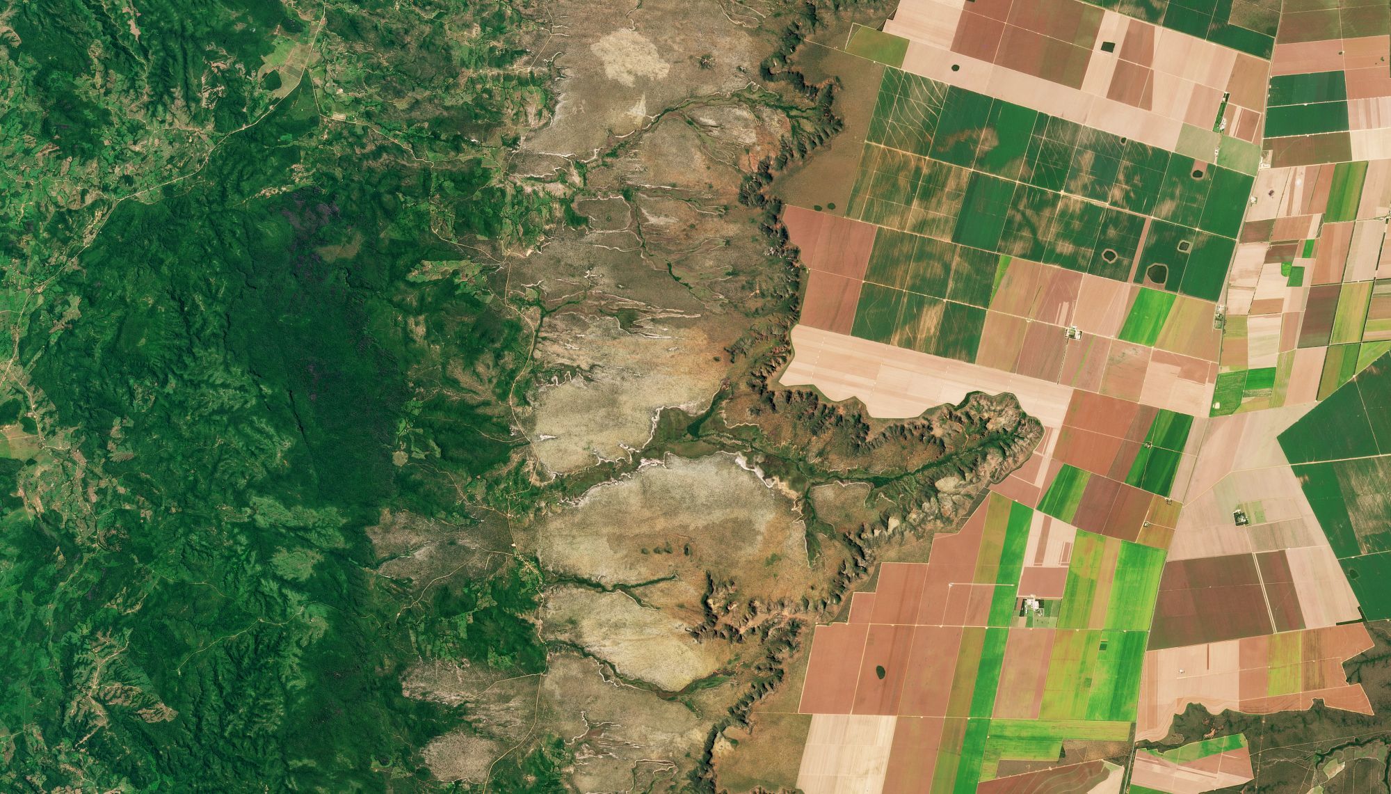
Conservation initiatives and land management are central to Brazilian economic development. From entering the forest carbon market to supporting new clean energy projects, government agencies often require regular visibility into broad areas. Regional governments in Brazil can now use near-daily satellite imagery from Planet to regularly monitor land use over large areas, improving visibility and building the foundation for policy changes that fuel economic development.
HIGH-FREQUENCY, COUNTRYWIDE DATA
Planet can provide countrywide, intradaily coverage, which can reduce the need for aircraft or individual resources.
SCALABLE
Planet’s cloud-first APIs allow you to build applications quickly that scale across Brazil's various states.
EASE OF USE
View and download imagery directly in your browser, or integrate with your existing GIS tools.
SUPPORTING EFFORTS AT THE FEDERAL, STATE, AND MUNICIPALLEVELS
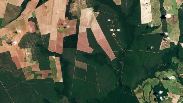
Planet has been collaborating with government entities in Brazil, through the Ministry of Justice and the Federal Police, in a network comprising more than 360 institutions at the federal, district, state, and municipal levels in recent years. This partnership aims to support intelligence services in combating deforestation, illegal mining, and wildfires. Additionally, through initiatives like RedeMAIS, it enables access and sharing of daily satellite images acquired by the PlanetScope constellation for the entire user network, which utilizes them in various contexts.
Low Carbon Economy
Providing up-to-date information for a National Registry of Payments for Environmental Services by associating the temporal history of changes through satellite images from Planet.
Environmental Protection
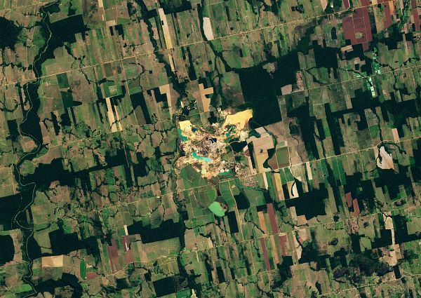
Using Planet's technologies and imagery to support preservation programs (PPCDAm, PPCerrado, among others) across diverse areas, including political-institutional information context, deforestation control, and monitoring of deforestation causes, fires, and burns, among other strategic objectives.
Forest Conservation and CircularEconomy
Expand knowledge and gather indicators related to climate impacts and changes to address vulnerabilities and enhance resilience.
Decarbonization and Bioeconomy
Offer operational support to states and municipalities through accurate and timely information acquired by Planet's constellations, with a specific focus on climate change resilience.