Search

Supporting Colombia Initiatives
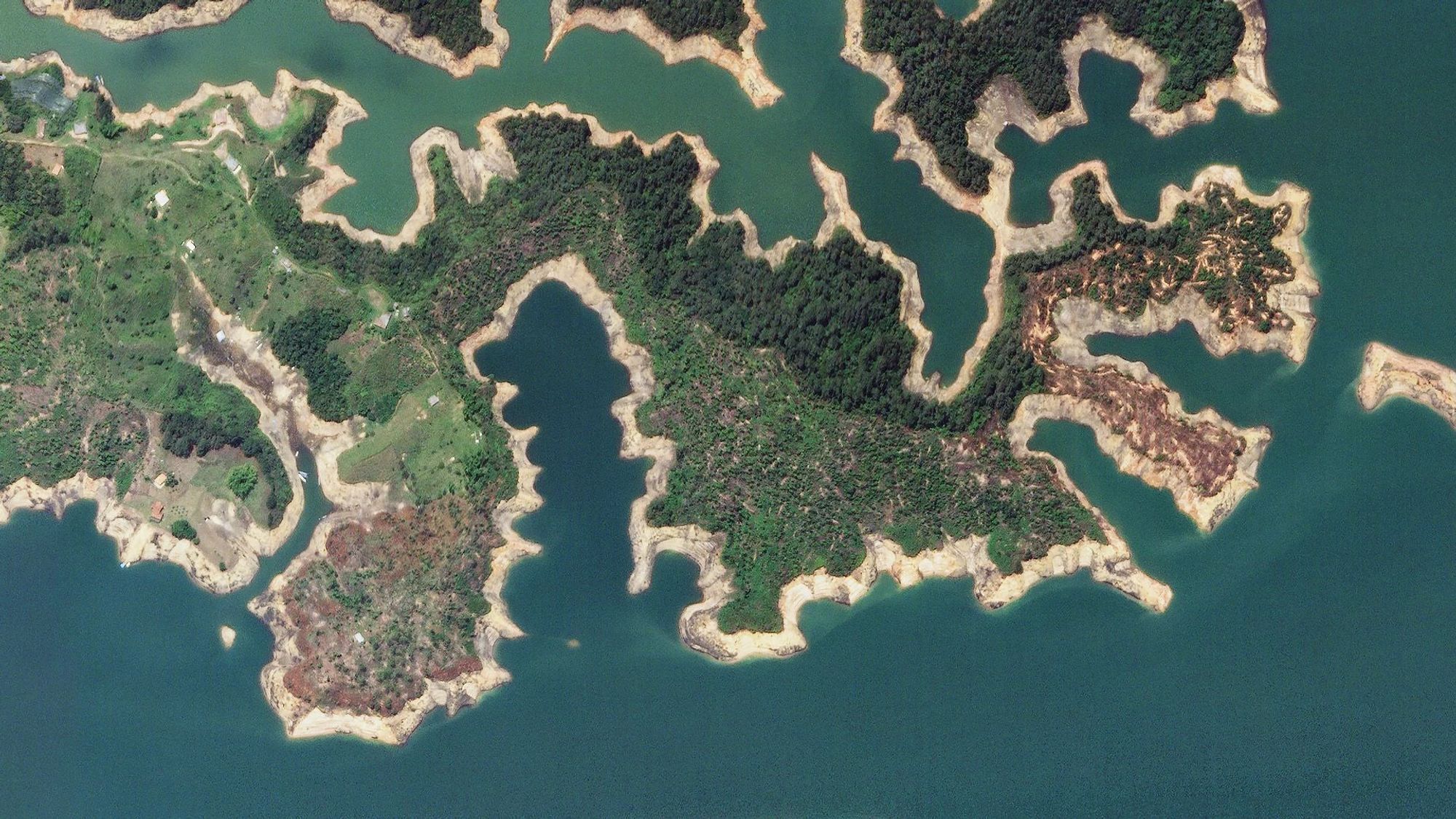
Guatapé Reservoir, ColombiaMarch 18, 2020
About Planet Labs PBC
Planet is the leading provider of global, near-daily satellite imagery data and insights. Planet is driven by a mission to image all of Earth’s landmass every day, and make global change visible, accessible, and actionable. Founded in 2010 by three NASA scientists, Planet designs, builds, and operates the largest Earth observation fleet of satellites, providing State and Local governments insights to make the right decision at the right time. To learn more visit www.planet.com and follow us on Twitter at @planet
Planet Can Help Address
- Natural Disaster Response and Recovery
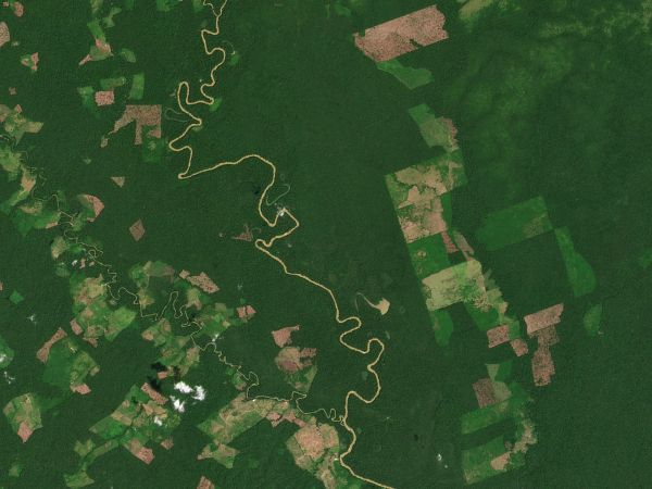
- Illegal Deforestation
- Environmental Impact due to Oil Activity
- Forest Carbon Monitoring
- Compliance with New Global Export Regulations on Deforestation and Forest Degradation
Learn More
Get in touch with Gustavo Tonzo, Account Executive LATAM at gustavo.tonzo@planet.com
Access Data Across Statewide Departments
Colombia faces a complex array of challenges concerning land redistribution and agrarian reform. Historically, governments have encountered difficulties advancing due to uncertainties surrounding land ownership, field boundaries, and property values. Presently, agencies can utilize near-daily satellite imagery to consistently monitor land use across extensive areas, enhancing visibility and laying the groundwork for policy changes.HIGH-FREQUENCY, COUNTRYWIDE DATA
Planet can provide countrywide, intradaily coverage, which can reduce the need for aircraft or individual resources.
SCALABLE
Planet’s cloud-first APIs allow you to build applications quickly that scale across Colombia's various departments.
EASE OF USE
View and download imagery directly in your browser, or integrate with your existing GIS tools.
SUPPORTING COUNTRYWIDE EFFORTS
Planet maintains a strong relationship with various government entities in the country, covering areas such as the environment, energy, and land use, among others. Planet's flexibility in image delivery provides a regular supply to various government departments, facilitating officials in planning and agile response to challenges, thereby reducing resource management costs and enhancing the impact on citizens. Currently, Planet supplies daily satellite images for Colombia's largest national project for Earth and territory observation, actively participating in promoting agricultural solutions for both the public and private sectors.
Land Use Monitoring
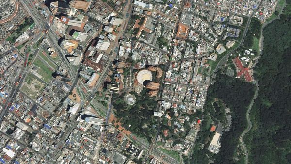
Planet helps governments identify and monitor changes to land cover, vegetation, infraestructure, and other activities over vast areas. This support extends to the country's largest monitoring project, the "Earth and Territory Observatory," led by the Agustín Codazzi Geographic Institute (IGAC), which is responsible for producing Colombia's official maps and basic cartography, and also managing the national cadastral infrastructure and the national soil survey.
Environmental Protection
Fiscalization and Auditing on Environmental and Mining Licenses
Defense & Intelligence
Planet pairs persistent global satellite monitoring and low latency tasking, with machine learning-based analytics to deliver early intelligence across shifting geopolitical landscapes. In the context of Colombia, this technology has been applied to monitor border areas, especially with Venezuela, as well as track and estimate areas with illicit crops. This facilitates a precise assessment of the problem and an efficient allocation of resources for its eradication.Learn More
Get in touch with Gustavo Tonzo, Account Executive LATAM at gustavo.tonzo@planet.com
© 2025 Planet Labs PBC. All rights reserved.
| Privacy Policy | California Privacy Notice |California Do Not Sell
Your Privacy Choices | Cookie Notice | Terms of Use | Sitemap
