Menu
Contact SalesLogin
Contact Sales
Login

Search

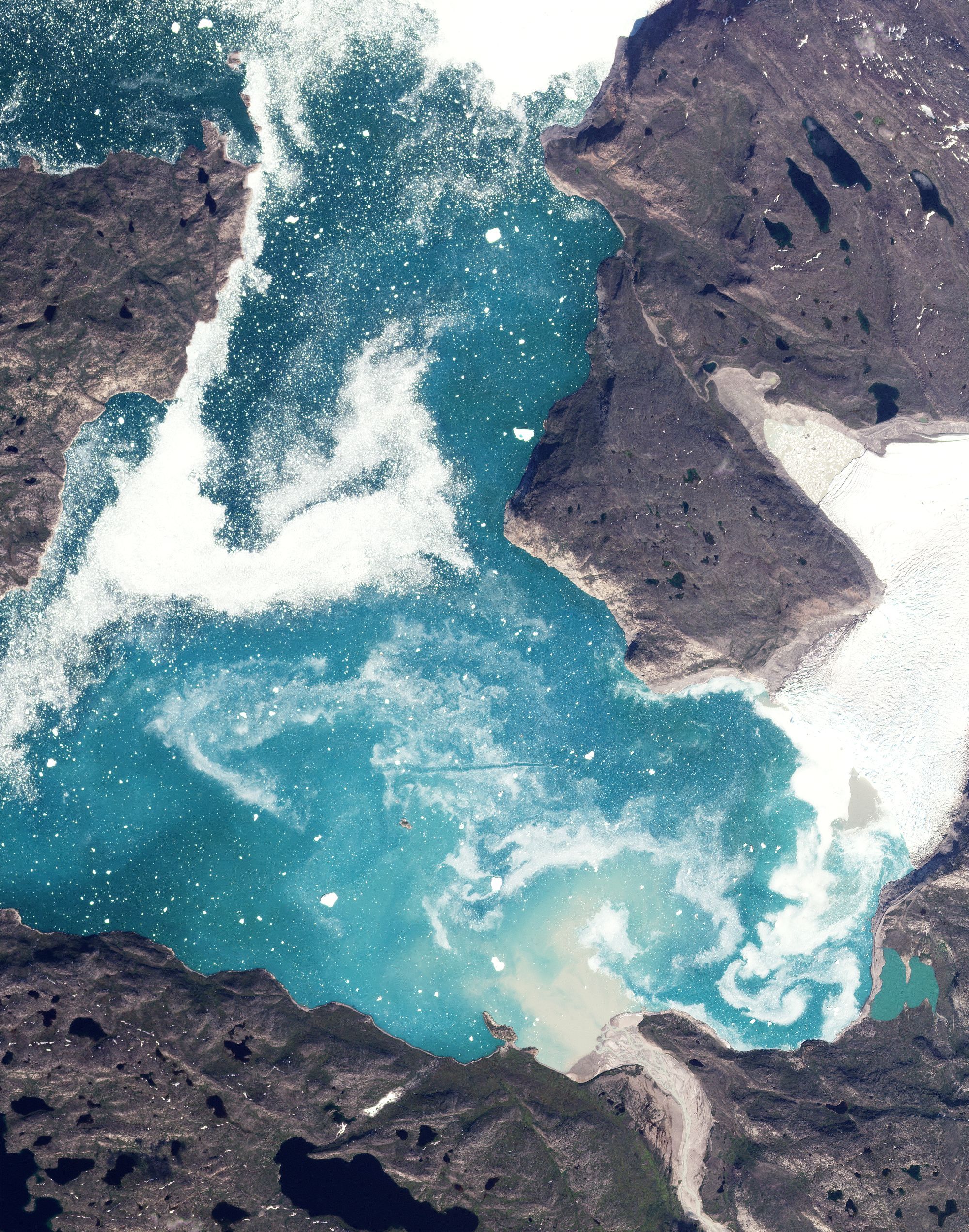
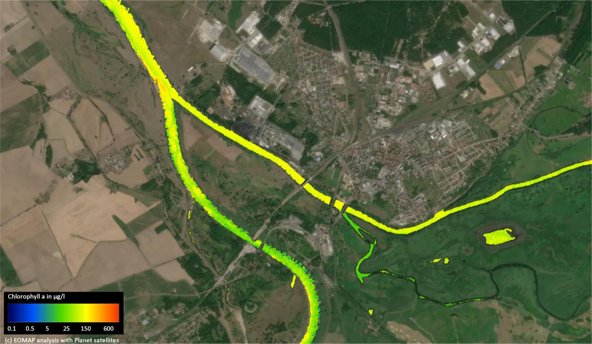
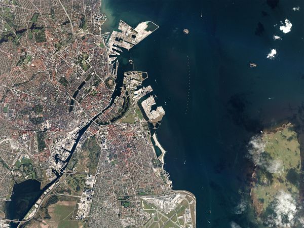
Accelerating Denmark's Green Transition

Copenhagen, Denmark 2016.09.18

About Planet Labs PBC

Planet is the leading provider of global, near-daily satellite imagery data and insights. Planet is driven by a mission to image all of Earth’s landmass every day, and make global change visible, accessible, and actionable. Founded in 2010 by three NASA scientists, Planet designs, builds, and operates the largest Earth observation fleet of satellites, providing State and Local governments insights to make the right decision at the right time. To learn more visit www.planet.com and follow us on Twitter at @planet

Planet Can Help Address

  • Agriculture Monitoring
  • Security Resilience and Reliability
  • Maritime Domain Awareness
  • Water Health Monitoring
  • Energy & Infrastructure Monitoring -Finance and Insurance
  • Commodity Forecasting
  • Forest Carbon Diligence
  • Methane Detection (Future Capability)
Learn More
Get in touch with Martin Hoffborn, Account Executive, at martin.hoffborn@planet.com

Sustainable Transformation With Planet Daily Satellite  Imagery

Denmark’s green transition is characterized by a multifaceted approach that joins ambitious environmental and climate protection policy with a pioneering innovation and digitalization agenda and world-class research. Space technology is at the center of Denmark’s sustainable transformation. Daily satellite imagery from Planet reinforces Denmark’s national space strategy to proactively monitor the country’s land and coastal territories enabling data-driven decisions across government offices, ministries, and agencies.
HIGH-FREQUENCY, COUNTRYWIDE DATA

Planet can provide countrywide, intradaily coverage, which can reduce the need for aircraft or individual resources.

SCALABLE

Planet’s cloud-first APIs allow you to build applications quickly that scale across Denmark's various departments.

EASE OF USE

View and download imagery directly in your browser, or integrate with your existing GIS tools.

Supporting Denmark's National Education and Research Ecosystem 

Denmark is a world leader in research leveraging space technology for environmental protection. The University of Copenhagen uses Planet data for pioneering work in forest monitoring. For example, they recently used Planet's high-resolution data for an unprecedented mapping of all trees in the African continent, demonstrating in the process the operational utility of Planet data for national-scale environmental policy.

Maritime Domain Awarness

Planet pairs persistent global satellite monitoring and low latency tasking, with machine learning-based analytics to deliver early intelligence across strategic coastal areas and waterways.

Satellite image of the Monomakh, a vessel allegedly engaged in transporting sanctioned oil to Russia according to the Wall Street Journal. 2022

Arctic Monitoring

Planet is able to track soil moisture content across broad areas to help government officials understand what’s normal and abnormal for a specific region, allowing for better insights into arctic conditions.

SkySat • Icebergs, North Greenland, Denmark • June 30, 2023

Water and Biodiversity  Monitoring

Planet delivers scalable, accurate, and consistent data to help water authorities monitor water quality and quantity in near-real time.

Water quality monitoring with EOMAP, uncovering the cause of an environmental catastrophe along the Oder River in Germany and Poland. June 2023

Education and Research

Planet’s unprecedented dataset helps university students, faculty members and researchers study global changes in near real-time.

Copenhagen, Denmark September 18, 2016

Learn More

Get in touch with Martin Hoffborn, Account Executive, at martin.hoffborn@planet.com
Planet Monitoring
Investors

© 2024 Planet Labs PBC. All rights reserved.
| Privacy Policy | California Privacy Notice |California Do Not Sell
Your Privacy Choices  | Cookie Notice | Terms of Use | Sitemap