Menu
Contact SalesLogin
Contact Sales
Login

Search

Supporting Kenya's Strategic Initiatives

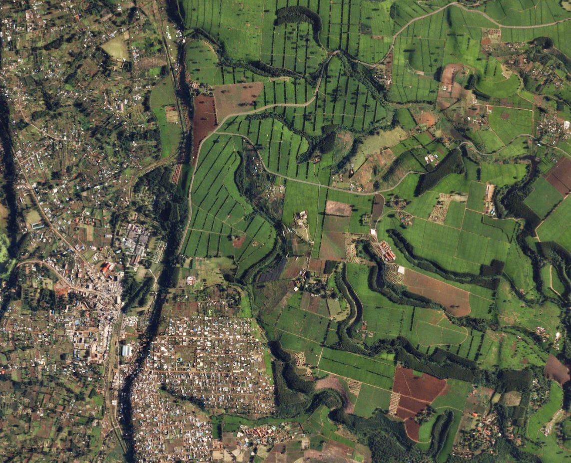
SkySat - Chesegon, Kenya, 04/30/2020

About Planet Labs PBC

Planet is the leading provider of global, near-daily satellite imagery data and insights. Planet is driven by a mission to image all of Earth’s landmass every day, and make global change visible, accessible, and actionable. Founded in 2010 by three NASA scientists, Planet designs, builds, and operates the largest Earth observation fleet of satellites, providing State and Local governments insights to make the right decision at the right time. To learn more visit www.planet.com and follow us on Twitter at @planet

Planet Can Help Address

  • Agriculture Monitoring
  • Security Resilience and Reliability
  • Maritime Domain Awareness
  • Water Health Monitoring
  • Energy & Infrastructure Monitoring
  • Finance and Insurance
  • Commodity Forecasting
  • Forest Carbon Diligence
  • Methane Detection (Future Capability)
Learn More
Get in touch with Gerald Yegon, Account Executive, at gerald@planet.com

Accelerating Kenya’s Transformation  Agenda

Kenya is a leading voice in the development of global climate finance frameworks. Earth Observation data plays an important role in several key strategic priorities related to agriculture, housing, forest carbon markets and digital transformation. Kenya’s diverse and mature geospatial community can leverage near-daily satellite imagery from Planet to support a wide range of programs in the Bottom-Up Economic Transformation Agenda (BETA) and other government programs, enabling data-driven decisions across government offices and ministries.
HIGH-FREQUENCY, COUNTRYWIDE DATA

Planet can provide countrywide, intradaily coverage, which can reduce the need for aircraft or individual resources.

SCALABLE

Planet’s cloud-first APIs allow you to build applications quickly that scale across Kenya's various departments.

EASE OF USE

View and download imagery directly in your browser, or integrate with your existing GIS tools.

Supporting Kenya's Bottom Up Economic Transformation Agenda through Monitoring Projects and Using Data-Driven Decision  Making

Kenya's government utilizes aerial images as well as satelite data in a variety of use cases ranging from national security to land use planning. There are several government initiatives and strategic projects including the Joint National Resource Mapping project (JNAMP) which need continuous access to EO data to monitor resource status like forests, water and public land. Planet data can play a vital role in providing national near-daily coverage to support the government's priority areas

Food Security

Planet data helps Civil Governments monitor the health and productivity of agricultural land and identify new threats that impact food security.

NDVI Soil Moisture Detection Makueni County, Kenya • Dec 6, 2022

Land Use Monitoring

Civil Governments use Planet data to identify and monitor changes to land cover, vegetation, roads and buildings and other activities over vast areas.

PlanetScope • Small holder farms in Kenya • 2016

Revenue Generation

Planet data helps Civil Governments monitor critical infrastructure, keep track of new development, and scope new project areas in cities and urban centers.

SkySat • Central Business District, Nairobi, Kenya • April 20, 2020

Drought Monitoring

Planet is able to track soil moisture content across broad areas to help state and local officials understand what’s normal and abnormal for a specific region, allowing for better insights into drought conditions.

PlanetScope • Turkana County, Kenya • Aug 18, 2022

Learn More

Get in touch with Gerald Yegon, Account Executive, at gerald@planet.com
Planet Monitoring
Investors

© 2024 Planet Labs PBC. All rights reserved.
| Privacy Policy | California Privacy Notice |California Do Not Sell
Your Privacy Choices  | Cookie Notice | Terms of Use | Sitemap