Search

Supporting Peru Initiatives
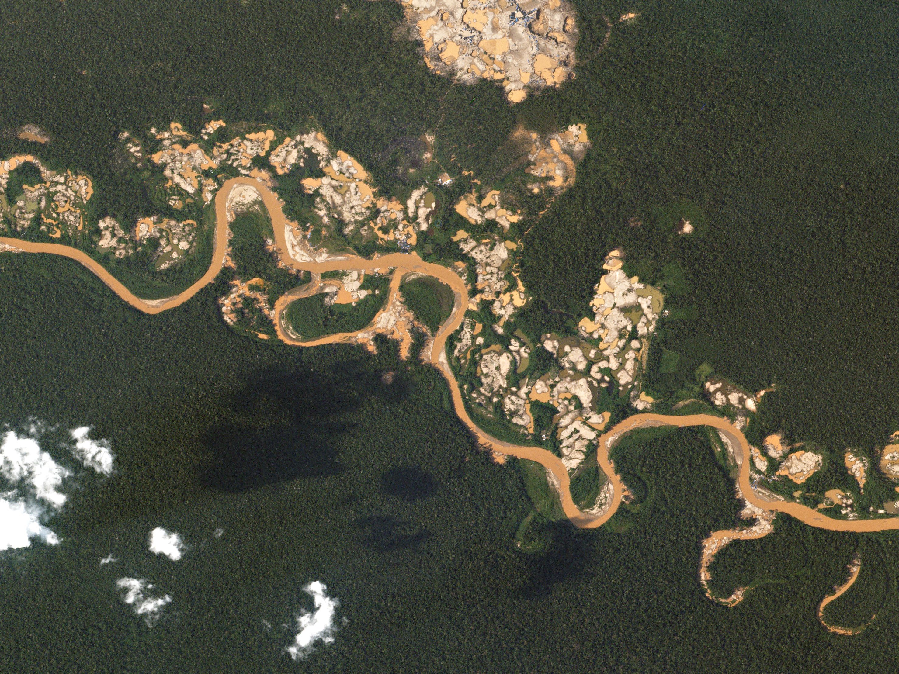
Salkantay, PeruSkySatApril 13, 2020
About Planet Labs PBC
Planet is the leading provider of global, near-daily satellite imagery data and insights. Planet is driven by a mission to image all of Earth’s landmass every day, and make global change visible, accessible, and actionable. Founded in 2010 by three NASA scientists, Planet designs, builds, and operates the largest Earth observation fleet of satellites, providing State and Local governments insights to make the right decision at the right time. To learn more visit www.planet.com and follow us on Twitter at @planet
Planet Can Help Address
- Forest Carbon Monitoring
- Defense and Intelligence
- Illegal Deforestation
- Water Resources Management
- Compliance with new global export regulations on deforestation and forest degradation
Learn More
Get in touch with Gustavo Tonzo, Account Executive LATAM at gustavo.tonzo@planet.com
Advancing Mining Development In Peru
Peru is the leading mining producer in Latin America, and it is crucial that mining activities adhere to environmental guidelines. Planet's daily global images, combined with high-resolution images, are employed for detecting illegal mining, enabling effective, data-driven policy and decision-making.HIGH-FREQUENCY, COUNTRYWIDE DATA
Planet can provide countrywide, intradaily coverage, which can reduce the need for aircraft or individual resources.
SCALABLE
Planet’s cloud-first APIs allow you to build applications quickly that scale across Peru's various departments.
EASE OF USE
View and download imagery directly in your browser, or integrate with your existing GIS tools.
SUPPORTING COUNTRYWIDE EFFORTS
Mining is one of the key industries in Peru, and the government has a significant interest in its oversight and regulation.
Illegal Mining
Illegal mining is a major concern for Peruvian government entities due to its environmental impact.
Environment
Forestry and mining activities must be monitored and audited to ensure compliance with government-issued environmental licenses, as well as to protect native forest areas.Learn More
Get in touch with Gustavo Tonzo, Account Executive LATAM at gustavo.tonzo@planet.com
© 2025 Planet Labs PBC. All rights reserved.
| Privacy Policy | California Privacy Notice |California Do Not Sell
Your Privacy Choices | Cookie Notice | Terms of Use | Sitemap
